Join us at our 2nd Annual Blizzard Ball

Observation: Duchesne Ridge

Observation Date
1/1/2025
Observer Name
Manship and S. Deutschlander
Region
Uintas » Duchesne Ridge
Location Name or Route
Duchesne Ridge
Weather
Sky
Overcast
Precipitation
Light Snowfall
Wind Direction
Southwest
Wind Speed
Moderate
Weather Comments
The day started off warm and grey bird, 25 degrees at the car. As we gained elevation and time went on wind increased ad started to transport snow to leeward slopes.
Red Flags
Red Flags
Recent Avalanches
Wind Loading
Collapsing
Poor Snowpack Structure
Red Flags Comments
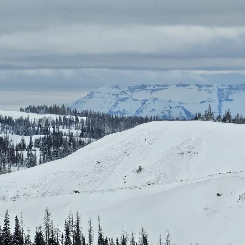
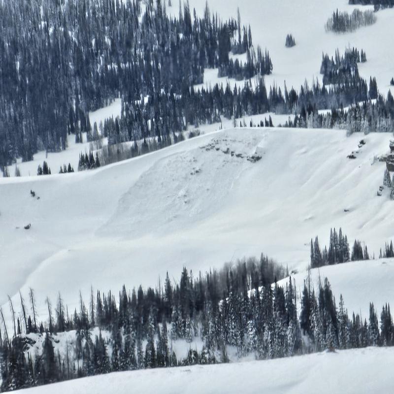
It is spooky out there, MANY recent avalanches. While sitting here I can count 16 avalanches I could see today. From what I could tell the all occurred during or recently after the storm.
Avalanche Problem #1
Problem
Persistent Weak Layer
Trend
Same
Problem #1 Comments
This PWL is no joke. Very well preserved facets about 50cm off the ground have the ability to connect terrain in an impressive way. This combined with a heavy PNW style slab on top has lead to widespread avalanches and continued instability.
Avalanche Problem #2
Problem
Wind Drifted Snow
Trend
Increasing Danger
Problem #2 Comments
We saw evidence of old wind slabs that had released below cornices. We also watched these being filled in though out the day.
Snow Profile
Aspect
North
Elevation
9,600'
Slope Angle
13°
Comments
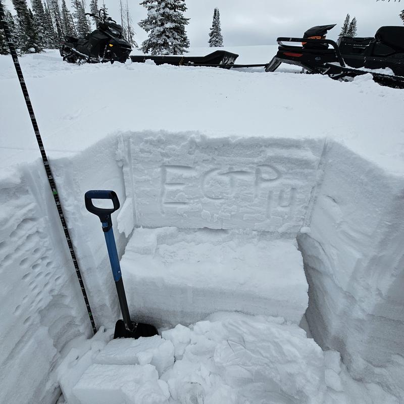
As expected we pulled and ECTP14 at 52cm up from the ground on 2-3mm well preserved facets below a 1f cohesive slab.
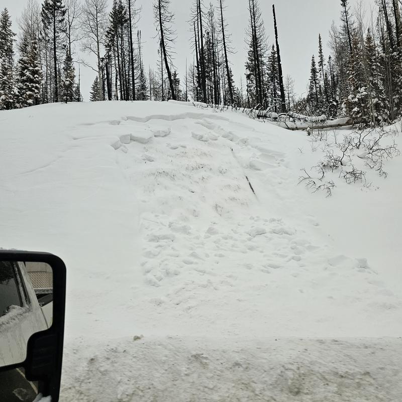
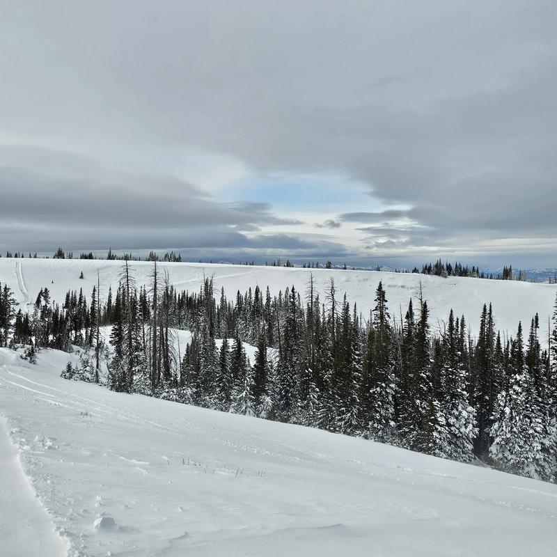
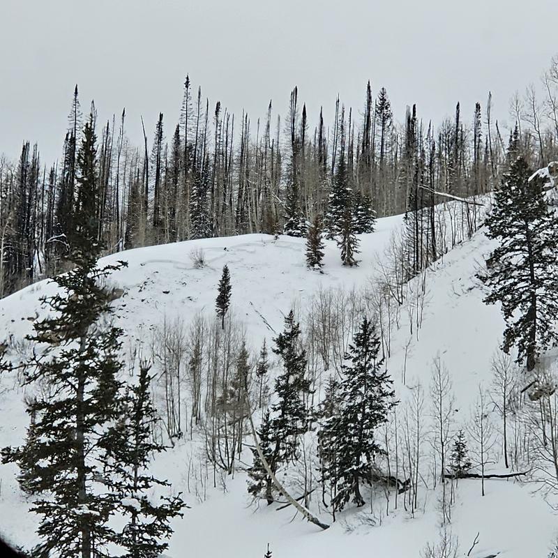
Below I will include a number of avalanche photos from the recent avalanches we have seen. Many are at mid and upper elevation on N-E-SE facing slopes. But there are a couple that are at low elevations near roads. To see more there is an observation from the 28th with a deeper dive into a larger avalanche.
1: Low elevation N avalanche
2: SE avalanches around 9700'
3: Low elevation road cut
4: Avalanche connecting through road cut, E 10,000'
5: NE avalanche 9600'
There are other avalanches to see out there.
Today's Observed Danger Rating
High
Tomorrows Estimated Danger Rating
High
Coordinates