Join us at our 2nd Annual Blizzard Ball

Observation: Alta Periphery

Observation Date
12/31/2024
Observer Name
Zimmerman-Wall, Kelly
Region
Salt Lake » Little Cottonwood Canyon » Alta Periphery
Location Name or Route
Upper LCC/AF/BCC
Weather
Sky
Scattered
Wind Direction
Northwest
Wind Speed
Light
Weather Comments
Very cold temperatures all morning and even in the sun it was frigid. Started tour at 1200 from Supreme on the triple divide of LCC/AF/BCC. Convective started building around this time at the upper reaches of Cardiff/Superior. Winds were well behaved and no transport occurring.
Snow Characteristics
New Snow Depth
12"
New Snow Density
Low
Snow Surface Conditions
Powder
Snow Characteristics Comments
Right side up new snow from last 24 hours period. Very supportable on skis and easy to break trail. HS in the upper elevations is 120-150cm on N-E facing. Certainly deep pockets of wind loaded abound as evidenced by the significant crown heights noted around the range. South facing was nearing a 100cm in many places probed along the ridges with no significant structure noted beyond the storm interfaces. We did not dig today and the focus was observing recent avalanche activity on as many aspects and elevations as possible.
The steeper SE-S-SW slopes picked up a bit of heat today from the clear skies and direct sun. Once the convective clouds blocked out the sun, the surface began to refreeze. I would expect a zipper crust on these in the morning after another very cold clear night.
Red Flags
Red Flags
Recent Avalanches
Cracking
Collapsing
Poor Snowpack Structure
Red Flags Comments
Booming collapses along the ridgeline from Tuscarora to Wolverine and several shallow cracks noted along a rocky feature while skining. Many avalanche crowns noted in the drainages of Dry Fork of American Fork and the Gargoyles Headwall. Sunset Peak had gone through a natural cycle during the storm and subtle fracture lines were still visible.
Avalanche Problem #1
Problem
Persistent Weak Layer
Trend
Same
Problem #1 Comments
Well known and continuing to produce direct and remote triggered avalanches from size D1-D3. This is in your face information and it is widespread on W-N-E-SE aspects across the range.
Avalanche Problem #2
Problem
New Snow
Trend
Same
Problem #2 Comments
There were numerous loose dry avalanches noted. Steep slopes had recent natural sluffing and were easily produced with a gentle push from the ridge.
Comments
Patience. Do nothing in haste, look carefully to each step, and from the beginning, think what could be the end.
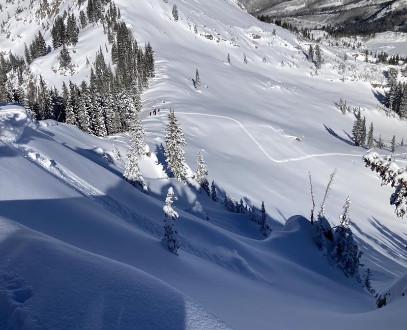
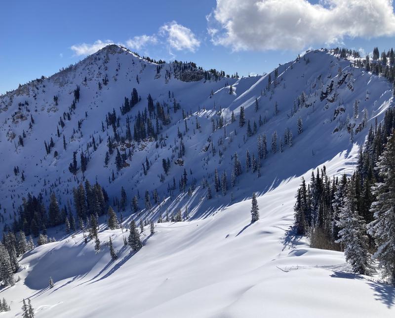
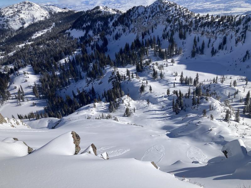
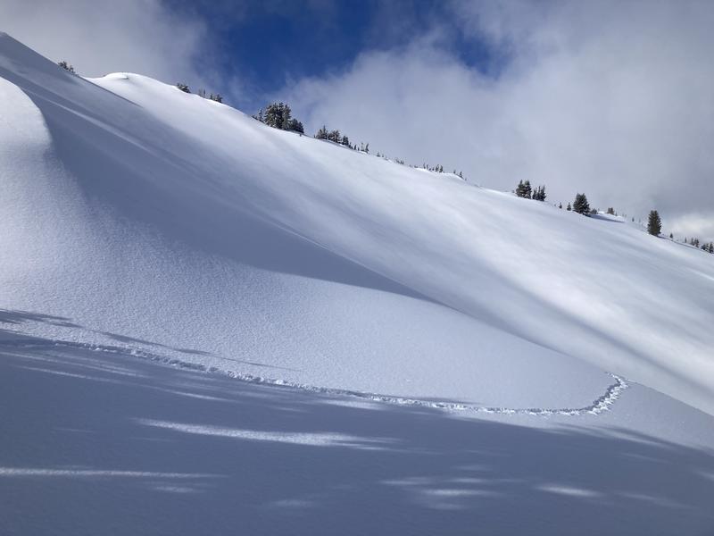
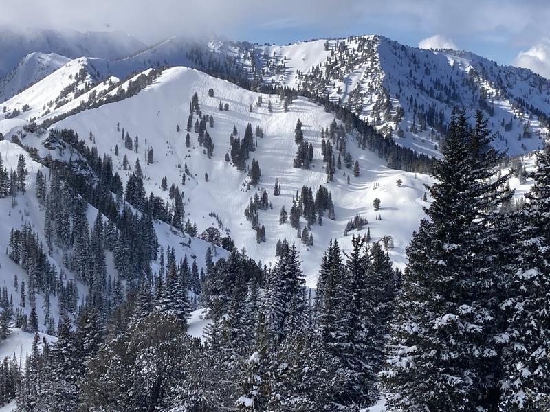
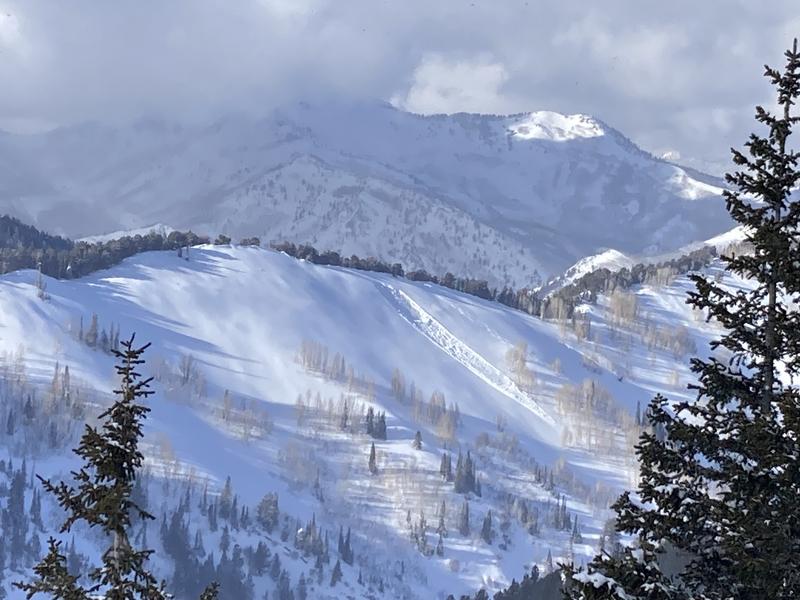
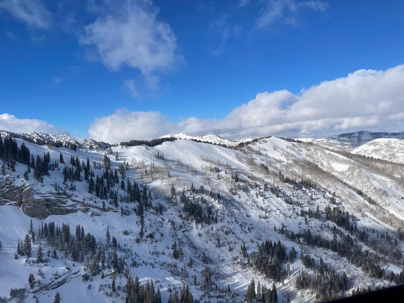
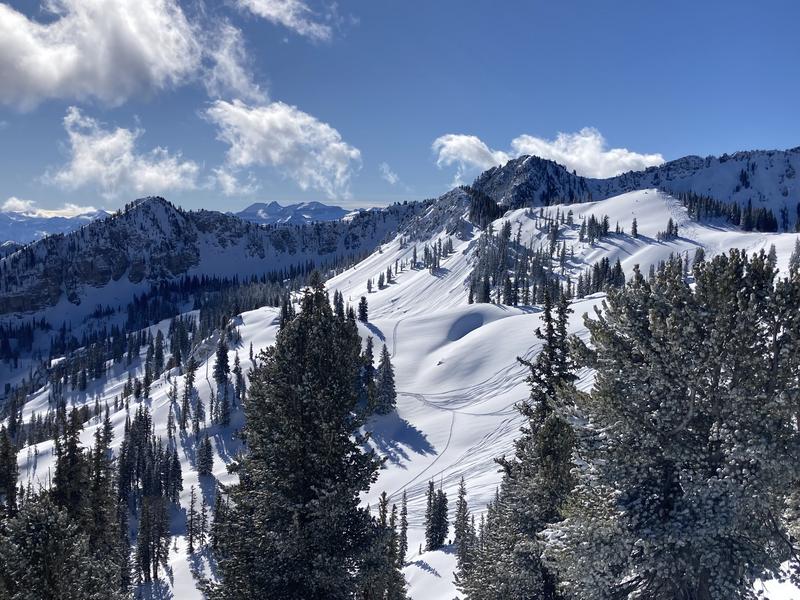
Photo 1: Dry Fork of AF Canyon and Gargoyles with sluffing and evidence of larger slab that had pulled out off the backside of Supreme (Fuzzy Weirdo) and been drifted in with new snow and wind.
Photo 2: Sluffs in Rocky Point
Photo 3: Sunset and Rocky Point. Crowns visible and drifted in below the high triangle of chutes.
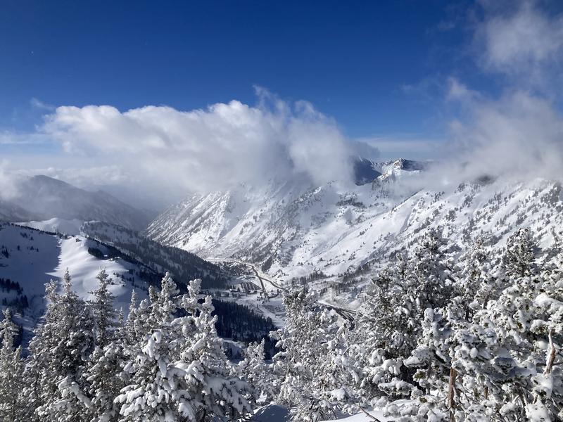
Photo 4: Afternoon convective building up. This got quite dense as the day wore on, but then broke up by 5pm.
Photo 5: Sluffs on Tuscarora
Photo 6: Wolverine Bowl where we had a booming collapse but no avalanche
Photo 7: Stacked tracks in West Bowl and evidence of the avalanche from several days prior.
Photo 8/9 Different angle on the Meadows Football Field remotely triggered slide.
Today, we traveled as though it was high hazard. The snowpack was probably a solid considerable (check out the danger scale HERE). With a buried persistent weak layer, (dry loose faceted snow) I like to give a wide berth to this problem particularly after such a huge hit of snow. We were still seeing remants of massive avalanches from this most recent storm. The snowpack has not settled out yet and as hard as it is to be patient I am trying to wait this one out and stick to lower angle and southerly facing slopes without the buried persistent weak layer.
Today's Observed Danger Rating
Considerable
Tomorrows Estimated Danger Rating
Considerable
Coordinates