Observation Date
12/29/2024
Observer Name
Ryan Huels
Region
Moab » Mount Mellenthin
Location Name or Route
Mellenthin Meadows
Comments
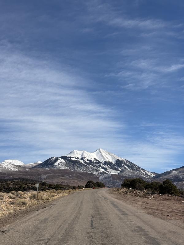
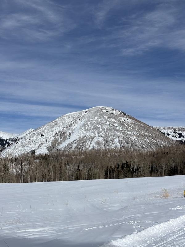
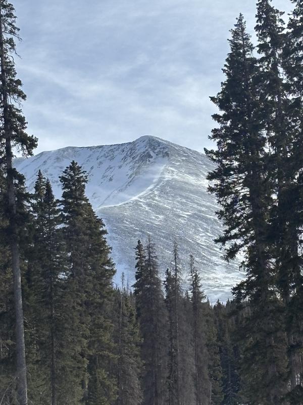
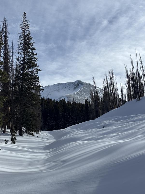
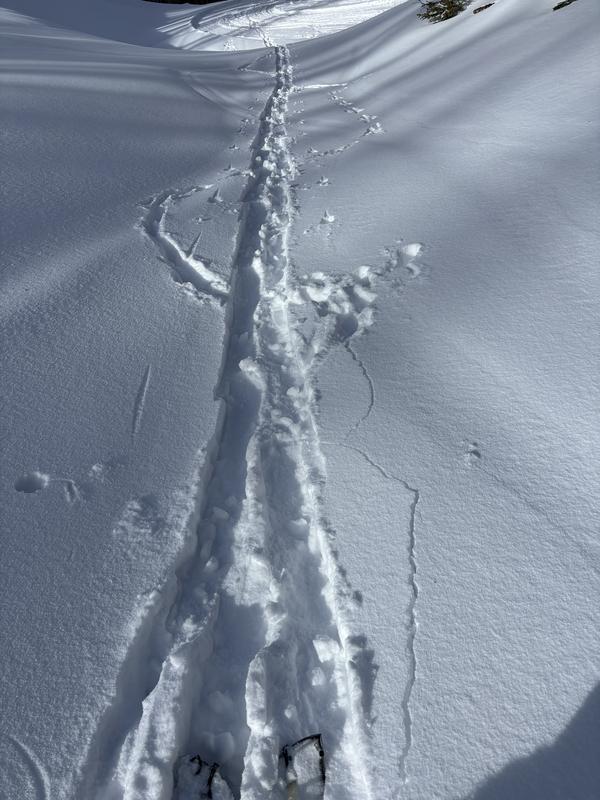
General Conditions: The skiing/riding below tree line in the trees and in sheltered meadows was excellent. There was 10cm of new smoothed in snow from the recent storm that was relatively dense and made riding fun. The snowpack was supportable for touring and turning but in transition boot penetration off of skis was almost to the ground. I remained above the old snow layers while on skies. It is still thin out there so be on the lookout for rocks, stumps and downed trees. I noticed cracking and instability in places during my ascent. W-S-SE aspects above treeline look almost completely bare and stripped by the wind other than sheltered gullies where wind drifted snow has accumulated. NW-N aspects above treeline have newly deposited snow from the wind and are well covered, but in digging a pit at 10300’ on a NW aspect the snowpack structure seemed poor with multiple weak layers and I am personally avoiding terrain on these aspects above treeline or in avalanche terrain. I did not get to visualize NE-E aspects but I suspect similar to NW-N aspects. My skin track was a third blown over by my second ascent from wind blow snow. Overall the conditions were great on NW-N aspects below treeline and I feel conditions will remain good for the next little while.
Weather: It was unseasonably warm at the winter parking lot trailhead at 1300 with the temperature sitting at 39 degrees F. After an hour of touring for an hour the temperature had dropped to 35 degrees F at 10000’. On S aspects in the snow the snow on the Geyser pass road was wet and melting on the surface. Winds were moderate and steady out of the SW initially with occasional gusts but ramped up in intensity during the afternoon. By the end of my tour they were strong out of the SW and throughout the day snow was being transported onto N-E leeward aspects. There is a small system that will pass through the region to the north tonight with no snow expected for the area, maybe a light dusting in the northern mountains. Following that looks cold, dry and windy for the short term. As for further out, It looks dry for the next 10+ days with most storms staying to the north of us.
Today's Observed Danger Rating
Considerable
Tomorrows Estimated Danger Rating
Considerable
Coordinates
Snow Pilot URL


