Observation Date
12/28/2024
Observer Name
Hardesty Meisenheimer DeBruin Kolanko
Region
Ogden » Ben Lomond » Cutler Ridge
Location Name or Route
Cutler Ridge
Comments
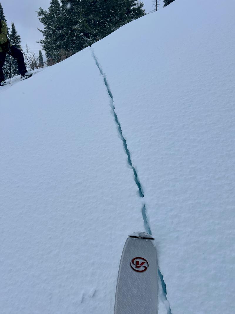
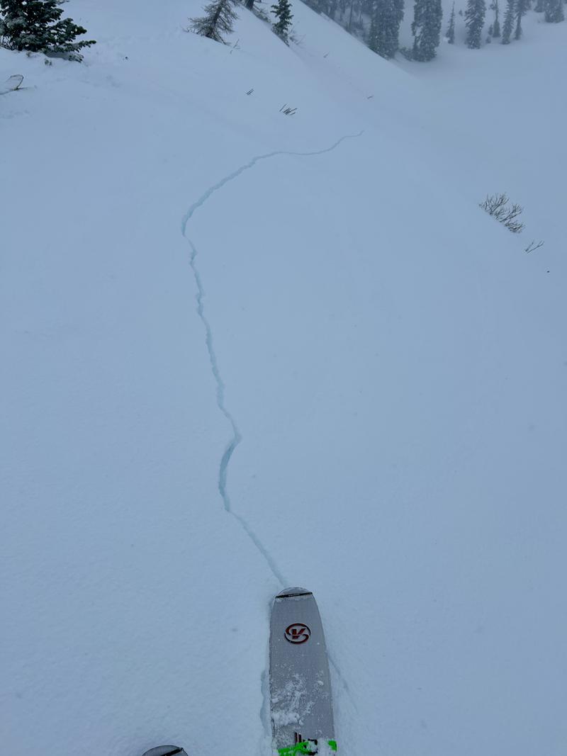
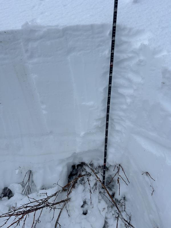
Lower elevations 70 to 100 cm with ECTP17 and propagation with the video you see below. All of this should be likely isothermal by tonight with expected continued rain. Collapsing and cracking noted both in new wind slabs and down to the old faceted snow - loud thunderous propagating - 2 to 3 feet deep. but it should be noted that collapsing in the old snow was less common up high with a thicker denser slab.
In pics note long running shooting cracks in the new wind slabs up to 50 feet in front of you and dark deep cracks running down into the old snow.


Video
Today's Observed Danger Rating
High
Tomorrows Estimated Danger Rating
None
Coordinates


