UDOT PLANNED AVALANCHE CLOSURES!!

Observation: Cutler Ridge

Observation Date
12/27/2024
Observer Name
Bill Brandt
Region
Ogden » Ben Lomond » Cutler Ridge
Location Name or Route
Cutler Ridge
Weather
Sky
Obscured
Precipitation
Heavy Snowfall
Wind Direction
West
Wind Speed
Moderate
Weather Comments
Mostly westerly winds although at one point it seemed to come from the east.
Snow Characteristics
Snow Surface Conditions
Powder
Dense Loose
Snow Characteristics Comments
Mixed graupel and rimed stellars and needles.
Red Flags
Red Flags
Heavy Snowfall
Wind Loading
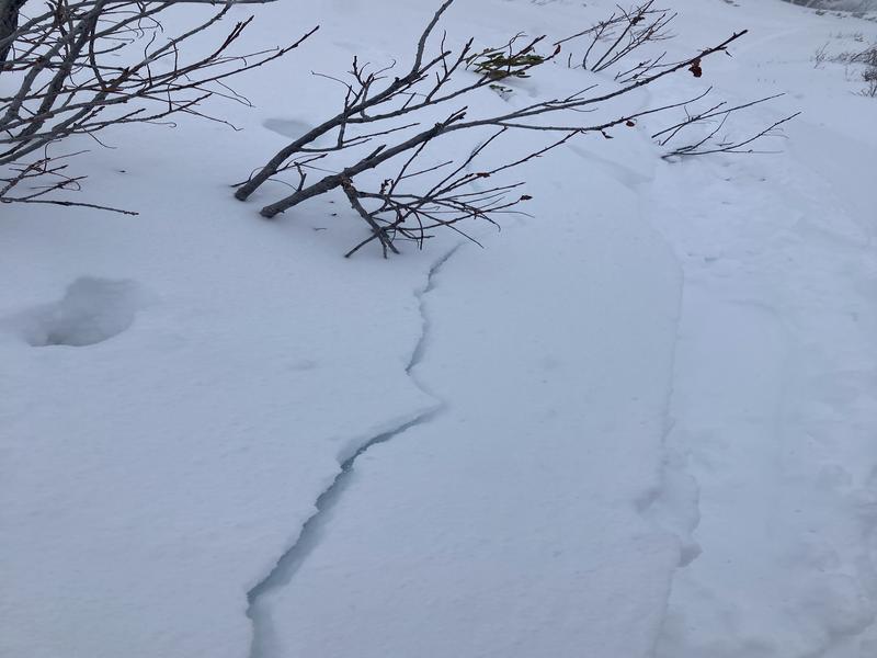
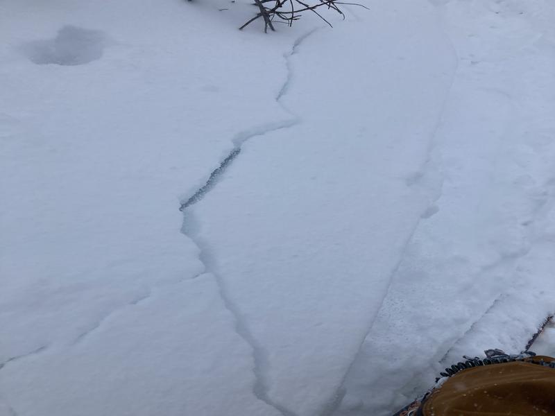
Cracking
Poor Snowpack Structure
Red Flags Comments
Localized cracking, no shooting cracks or collapses.
Avalanche Problem #1
Problem
New Snow
Trend
Increasing Danger
Problem #1 Comments
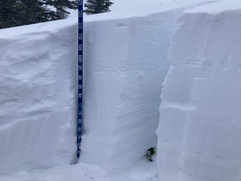
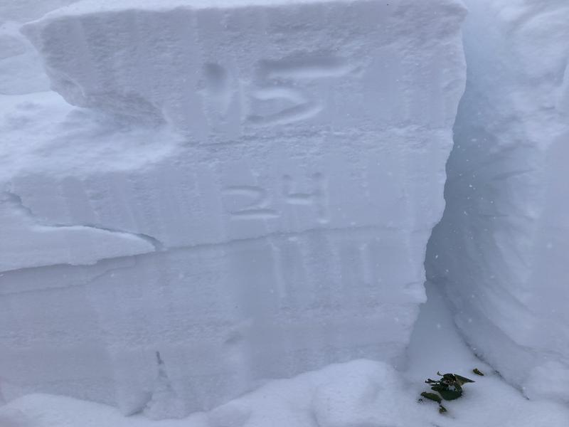
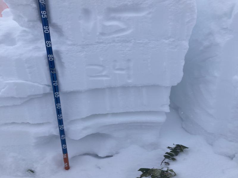
ECTP at 15 and 24 within the new snow on distinct layers of graupel. Wind loading of new snow. I expect these layers to heal relatively quick.
Avalanche Problem #2
Problem
Persistent Weak Layer
Trend
Increasing Danger
Problem #2 Comments
Old faceted snow 50 cm above the ground. This weakness is more likely to persist and probably needs a bigger load to be reactive. New snow and or rain will contribute to the load. I was surprised that the ECT didn't fail on this layer. The shear test failed above the basal facets with moderate effort popping out cleanly.
Snow Profile
Aspect
Northeast
Elevation
7,700'
Slope Angle
27°
Comments
See photos from snow pit.
Weak basal facets.
I think the danger rating will be high tomorrow with more snow and rain especially on steeper higher elevation slopes N through E.
Today's Observed Danger Rating
Considerable
Tomorrows Estimated Danger Rating
High
Coordinates