Observation Date
12/26/2024
Observer Name
Gagne
Region
Salt Lake » Big Cottonwood Canyon » Mill D North » Butler Fork » Reynolds Peak
Location Name or Route
Reynolds
Comments
I wanted to focus on low and mid elevations ahead of a hopefully stormy period over the next several days.
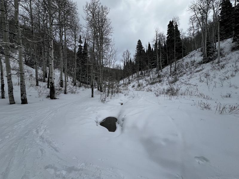
At low elevations between 7,500' and 8,000' there is some weak snow, but it's not widespread and snow depths are shallow with 30-45 cms (12-18") so there is not enough to connect a weak layer across a slope.
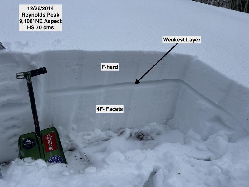
Mid elevations have 45-70 cms (18-24") snow depths and last week's warm temperatures have strengthened the PWL. This may allow northerly slopes at the mid-elevations to take on more of a load before avalanching. The photo below shows the layer containing the weakest snow (I highlighted the line) and this is down 30-40 cms. There was no strong slab on top and ECT results just smushed the entire snowpack.
With heavy snowfall and strong winds forecast, slopes facing west/north/east will become dangerous by Friday.

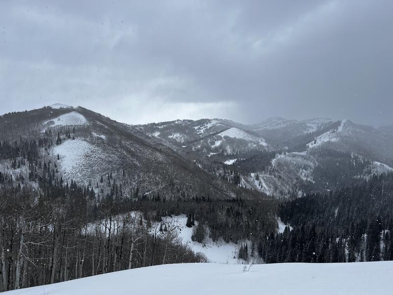
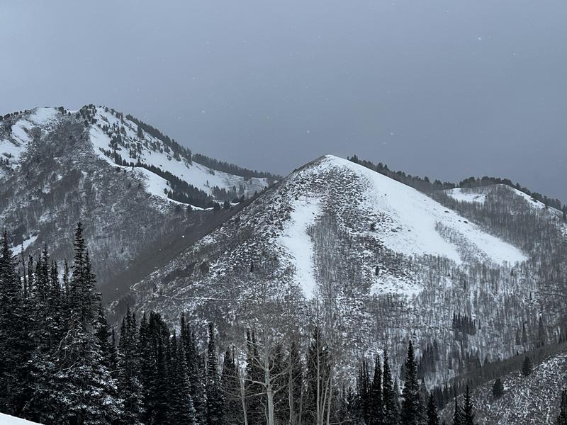
Some photos of Mill D North ahead of a hopefully stormy period. Knowing the southerly aspects that currently do not hold snow will be the only option for consideration.


Today's Observed Danger Rating
Considerable
Tomorrows Estimated Danger Rating
High
Coordinates


