Observation: Hayden

Observation Date
12/14/2024
Observer Name
Ted Scroggin
Region
Uintas » Hayden
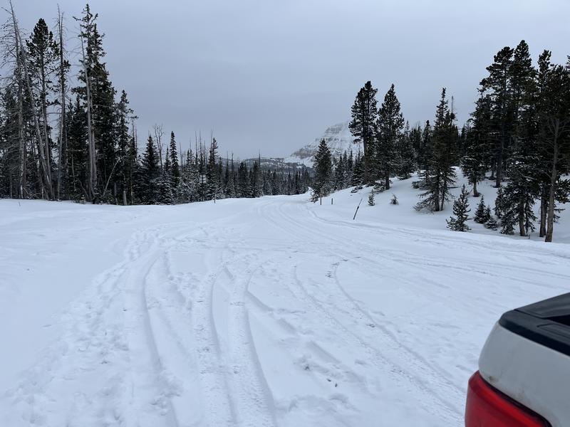
Location Name or Route
High Line Meadow
Weather
Sky
Obscured
Precipitation
Moderate Snowfall
Wind Direction
Southwest
Wind Speed
Moderate
Weather Comments
The day started partly cloudy, but the weather quickly filled in and light to moderate snow started around mid morning. The south winds were on the increase and it was a winter like day up on the pass.
Snow Characteristics
New Snow Depth
5"
New Snow Density
Medium
Snow Surface Conditions
Powder
Snow Characteristics Comments
A few inches of new snow to help the meager snow pack, maybe not enough to have the wheels fall off the bus.
Red Flags
Red Flags
Wind Loading
Cracking
Poor Snowpack Structure
Red Flags Comments
Not a major winter storm, but gusty south winds, a few inches of new snow and a weak snow pack have ramped up the avalanche danger.
Avalanche Problem #1
Problem
Persistent Weak Layer
Trend
Increasing Danger
Problem #1 Comments
The weak snow pack got a small stress test with the recent snow and wind and I observed some small soft slab conditions that were failing on the old/new snow interface.
Snow Profile
Elevation
10,300'
Comments
Just a few inches yesterday and a couple today up around the High Line Trail head.
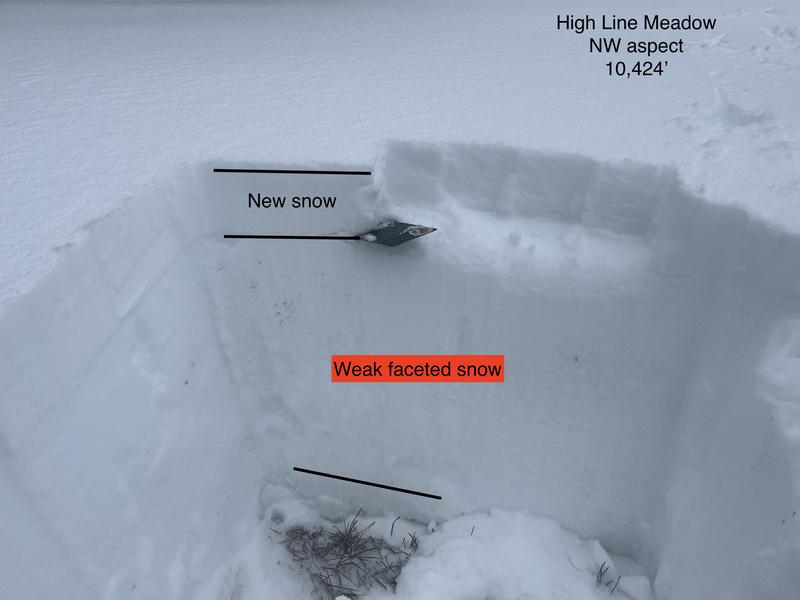
Not a lot of new snow with yesterday's storm and maybe a couple inches this morning are sitting a very weak snow pack and the conditions were a little sensitive today.
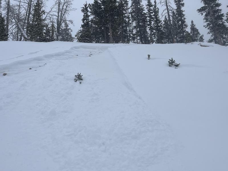
There were a few sensitive soft slabs as the new snow was adding stress to the underlying snow pack. I took advantage of this safe road bank to see how the new snow was reacting and got this very small soft slab which quickly broke apart and it gouged into the weak snow underneath.
Today's Observed Danger Rating
Moderate
Tomorrows Estimated Danger Rating
Moderate
Coordinates