Observation Date
11/30/2024
Observer Name
M. Talty
Region
Ogden » Ben Lomond » Cutler Ridge
Location Name or Route
Cutler Ridge
Comments
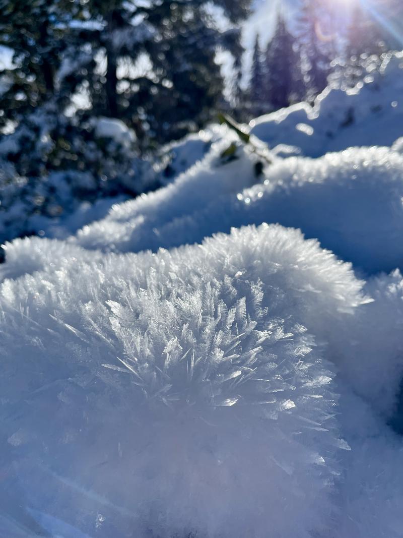
Today I traveled to Cutler Ridge to examine mid and upper-elevation slopes holding weak, sugary snow beneath the recent storm snow. Surface hoar was observed on all shady slopes that were sheltered from the wind, but it had been destroyed by strong winds at and above treeline. Winds have been moving a lot of snow over the past few days, and although snow available for transport is dwindling, today’s winds were pushing the remaining soft snow into supportable, hard wind drifts. No recent avalanches were observed.
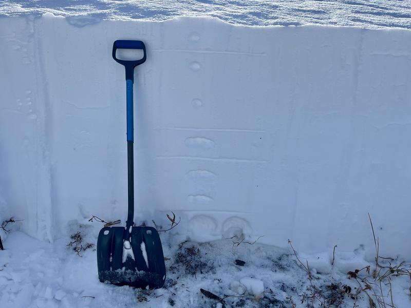
I dug on a wind-loaded northeast slope at 8,000’ and found faceted snow 75cm beneath the surface. An extended column test resulted in propagation on a layer of graupel that fell early in the last storm (ECTP-13 62cm beneath the surface). While the PWL is not showing obvious signs of instability, quickly digging to the ground reveals a poor structure, indicating a setup that strongly suggests “stick to low-angle terrain!”. I would expect wind drifts along the ridgeline to be 3-5’ deep, delicately resting on the weak snow from earlier in the season.
Picture 1: Snowpit
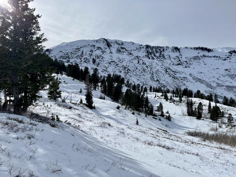
Picture 2: Ben Lomond coverage
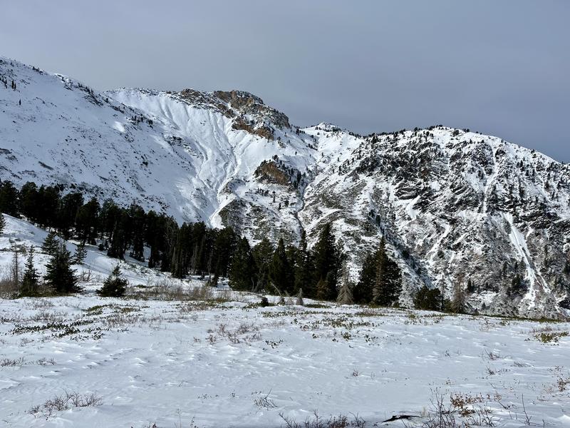
Picture 3: Willard coverage
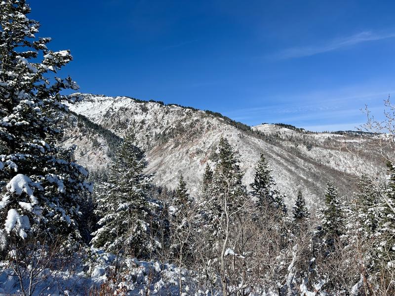
Picture 4: South-facing coverage
Picture 5: Surface hoar (below treeline)
Today's Observed Danger Rating
Moderate
Tomorrows Estimated Danger Rating
Moderate
Coordinates


