Join us at our 2nd Annual Blizzard Ball

Observation: Moab

Observation Date
11/23/2024
Observer Name
Chris Benson
Region
Moab
Location Name or Route
Gold Basin
Weather
Sky
Scattered
Wind Direction
Southwest
Wind Speed
Strong
Weather Comments
Warm windy day in the mountains.
Snow Characteristics
Snow Surface Conditions
Powder
Dense Loose
Faceted Loose
Wind Crust
Melt-Freeze Crust
Snow Characteristics Comments
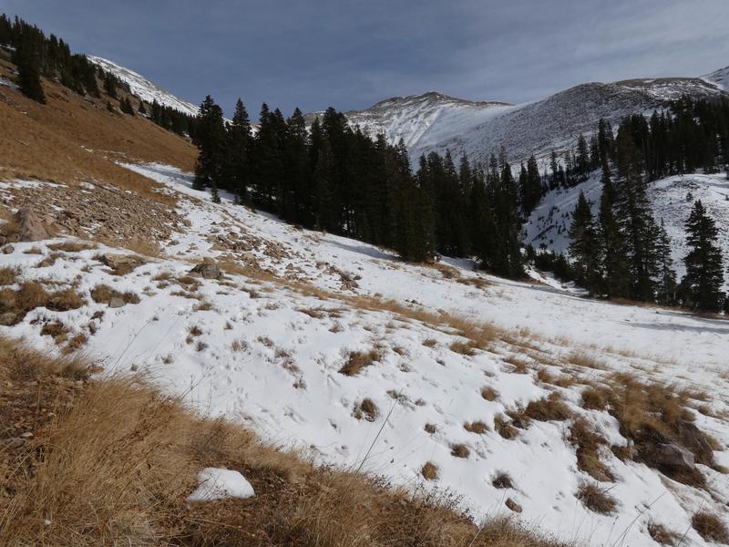
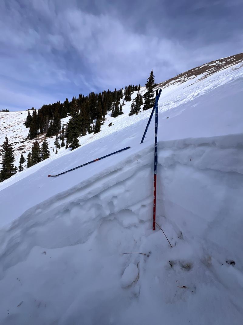
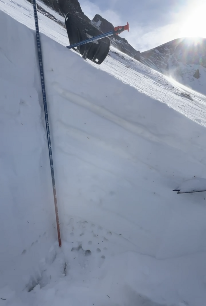
Theme of the day was variability. Began with a North aspect near treeline (Coyote Chute) and wrapped around to the Funnel to see WNW and WSW aspects. Walked down Gold Miners (South-no snow) and then into Talking Mtn Cirque. Hs varied between 0 and ~100cm. On the northern half of the compass, areas exposed to wind had a problematic structure, with wind-packed slabs overlying faceted snow. Slopes facing due south are pretty much completely bare, while slopes with SW aspect had a very stout melt-freeze crust. This crust was difficult to travel over, and I was glad to have ski-crampons and a whip-it. Underneath this crust, there are large facets up to 1.5mm. On some area on WNW aspects in the Funnel, areas with less wind influence are only about 40cm deep and consist entirely of facets.
Red Flags
Red Flags
Cracking
Red Flags Comments
I got one test slope to crack (10') on a north aspect near/below treeline.
Avalanche Problem #1
Problem
Persistent Weak Layer
Trend
Same
Snow Profile
Aspect
Northwest
Elevation
11,200'
Slope Angle
32°
Comments
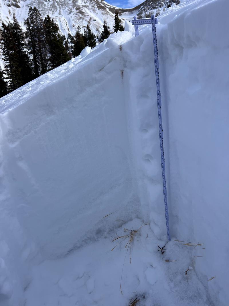
Strong temperature gradients in a few sections of the snow. Got two ECTPs on facets in the upper 50 cm of the snowpack. Slabs are very stout and may not allow the weight of a rider to affect the weak snow below.
Video
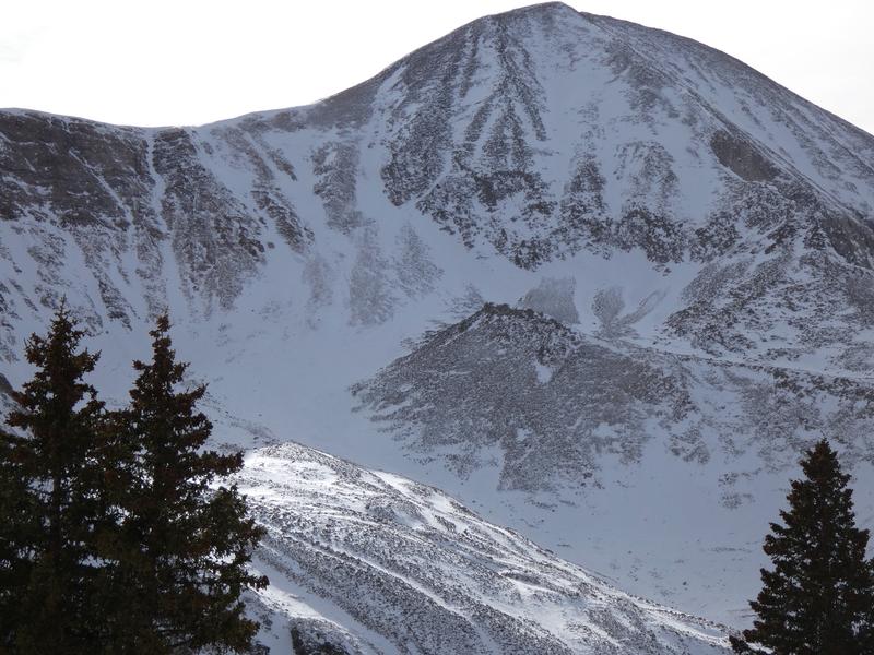
1) Wind scoured Northerly aspects above treeline
2) South vs. North aspects
3) N aspect (Coyote Chute) Wind slab over facets
4) Funnel WNW aspect with wind/sun layers over facets
5) Talking Mountain NW aspect deeper snowpack with facets in the upper snowpack below thin slabs
6) Test slope N aspect near/below treeline with shooting crack
Today's Observed Danger Rating
Low
Tomorrows Estimated Danger Rating
Low
Coordinates