Observation Date
10/28/2024
Observer Name
Hardesty
Region
Salt Lake » Little Cottonwood Canyon » Cardiff Peak
Location Name or Route
Cardiff Peak
Comments
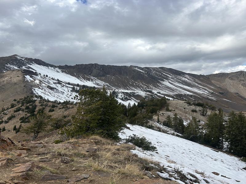
Just a quick outing ahead of this next storm. Walked on dry ground to Cardiff Peak and found roughly 1-3" of damp snow on north and northeast facing slopes above - conservatively - 10,000'. Everything else is dirt.
This lingering snow is leftover from the October 17-18 storm with rough totals (snowfall and snow water equivalent) as below -
LCC - 8"/1.5" SWE
BCC - 8"/1.8" SWE
PC - 4"/1.65" SWE
Ogden - 1-3"/1-2" SWE
Provo - 6-12"/2.0"SWE
This snow rapidly weakened and faceted but has - owing to very warm temps and cloud cover - gained strength over time. While not alarming, some damp faceted grains exist along the highest northerly terrain.
Terrain with this structure will need to be investigated with each continued snowfall. It's very common to have early season accidents, close calls, and occasional fatalities from early season snow overloaded by subsequent storms.
Photos of snow coverage below.
- Cardiac Bowl and Cardiac Ridge in upper Cardiff Fork, BCC
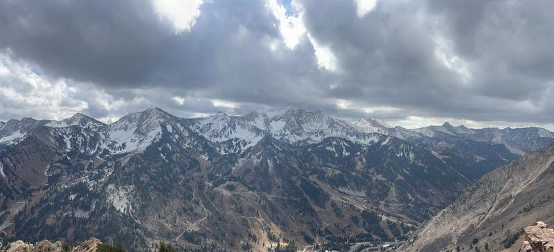
- North facing terrain of Alta, Snowbird....west toward the Pfeifferhorn and the Coalpit Headwall
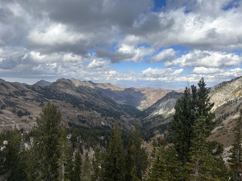
- South facing terrain above BCC, including Gobblers and Wilson
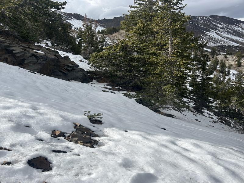
- 1-3" of connected damp snow at 10,200' north facing
- Silver Fork headwall photo forecaster Dave Kelly October 23


In general, the early season snow structure shows some of the widest spatial variability. Observations are much appreciated -
Today's Observed Danger Rating
None
Tomorrows Estimated Danger Rating
None
Coordinates


