Observation Date
4/16/2024
Observer Name
Zimmerman-Wall
Region
Salt Lake » Little Cottonwood Canyon » Grizzly Gulch
Location Name or Route
Grizzly Gulch
Comments
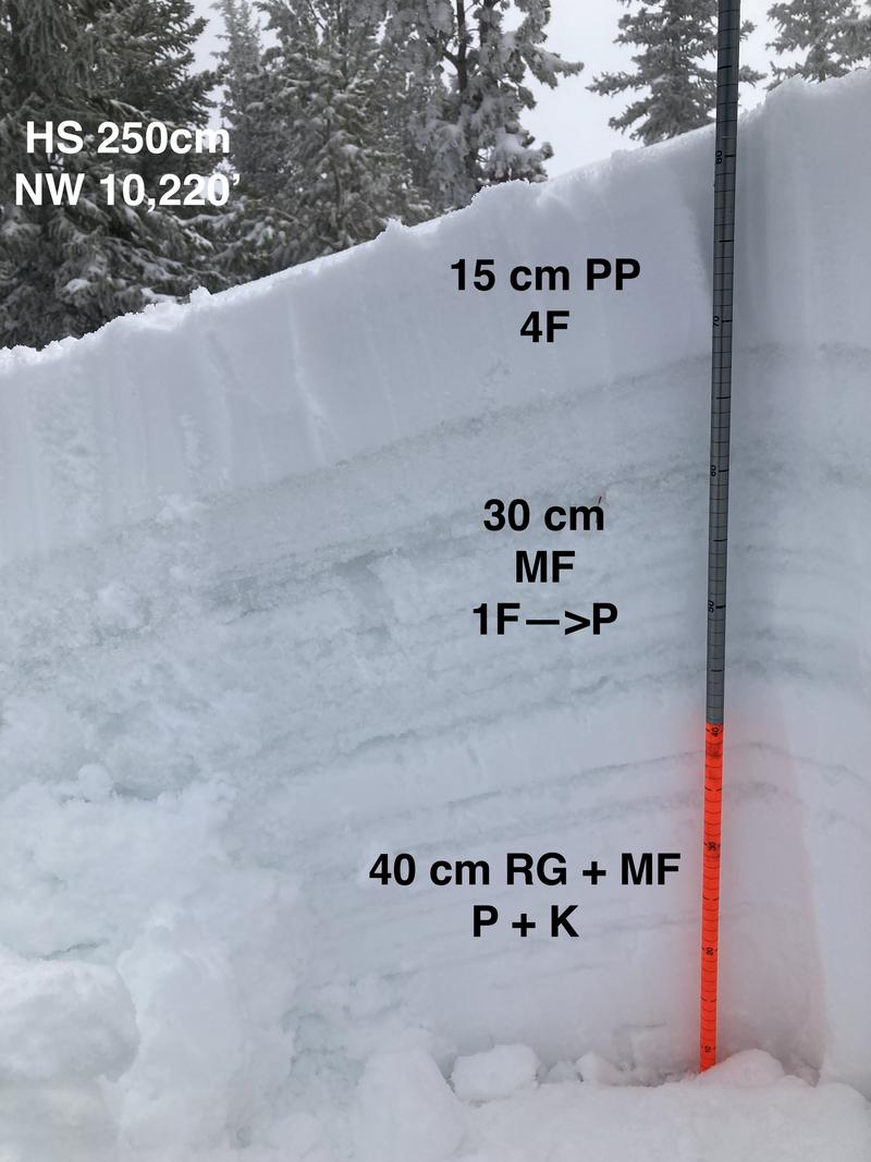
Good to ride some fresh. Poked around at structure and we are well on our way to a homogeneous spring snowpack. No signs of instability in the new snow noted during tour. Alta and Snowbird looked to have had some natural wet loose and explosive triggered sluffs, but no slabs to speak of.
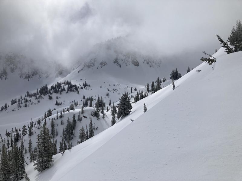
1. Clouds and sun in lower Wolverine, no greenhousing during tour
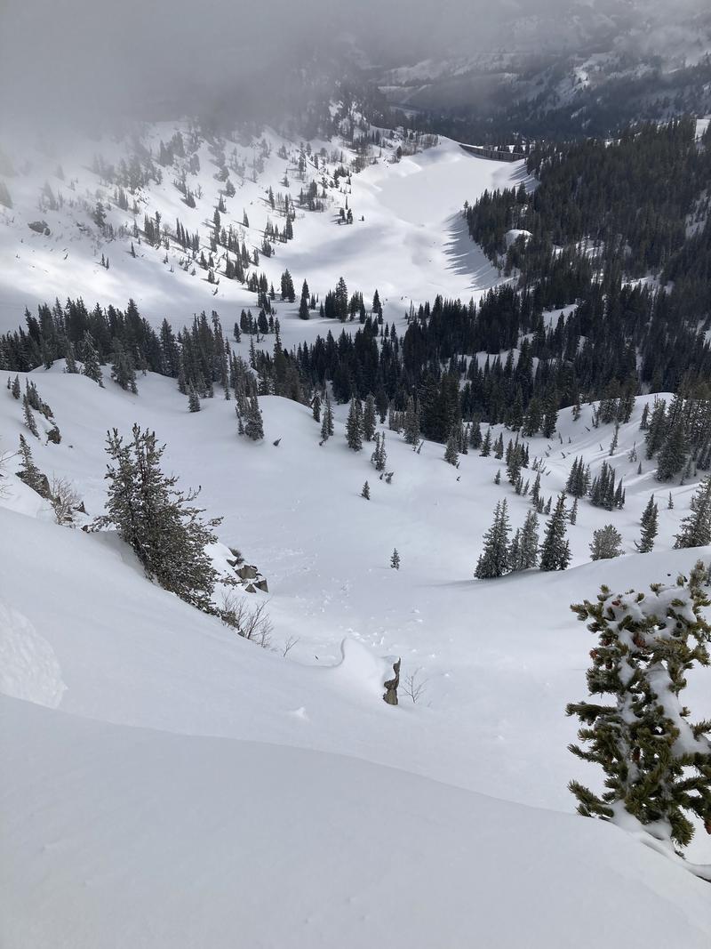
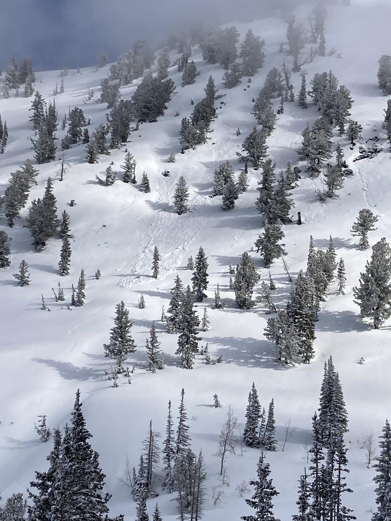
2. Old debris in Heavens Gate
3. Old wet slab between Culps and Grizzly cup still visible
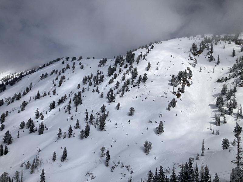
4. Overall coverage on South facing still looking alright above 9,000'
5. Snow profile of upper 85cm just above the Twin Lakes Pass.
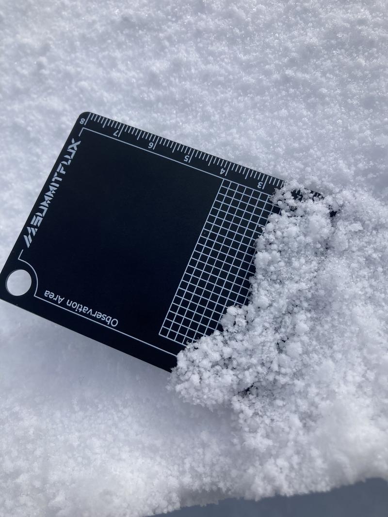
6. New snow 2mm graupel
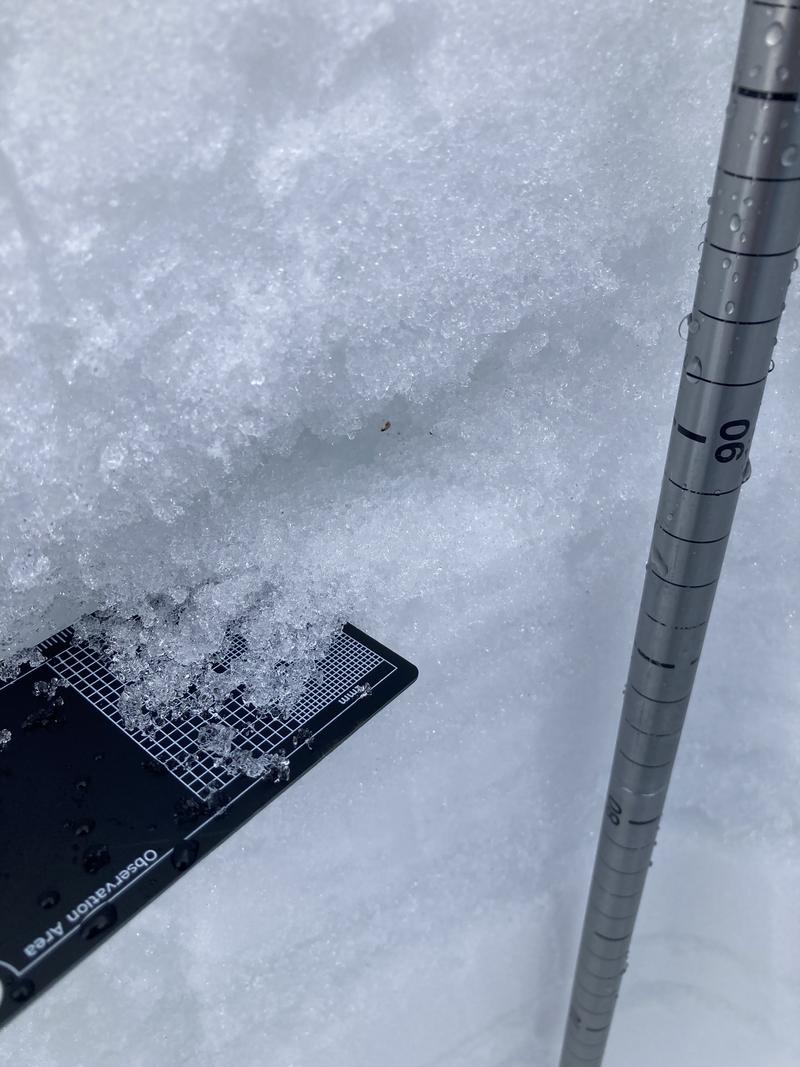
7. Melt forms and polycrystals 3-4mm in size
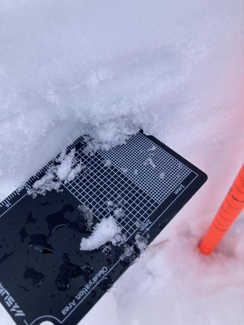
8. Rounded grains <0.5mm in size
Today's Observed Danger Rating
Low
Tomorrows Estimated Danger Rating
None
Coordinates


