Check out our Holiday Auction - Sign Up for the Utah Snow and Avalanche Workshop (USAW)

Observation: Ant Knolls

Observation Date
4/7/2024
Observer Name
Ryan Shea
Region
Provo » Snake Creek » Ant Knolls
Location Name or Route
Ant Knolls
Red Flags
Red Flags
Recent Avalanches
Heavy Snowfall
Wind Loading
Rapid Warming
Avalanche Problem #1
Problem
New Snow
Trend
Decreasing Danger
Problem #1 Comments
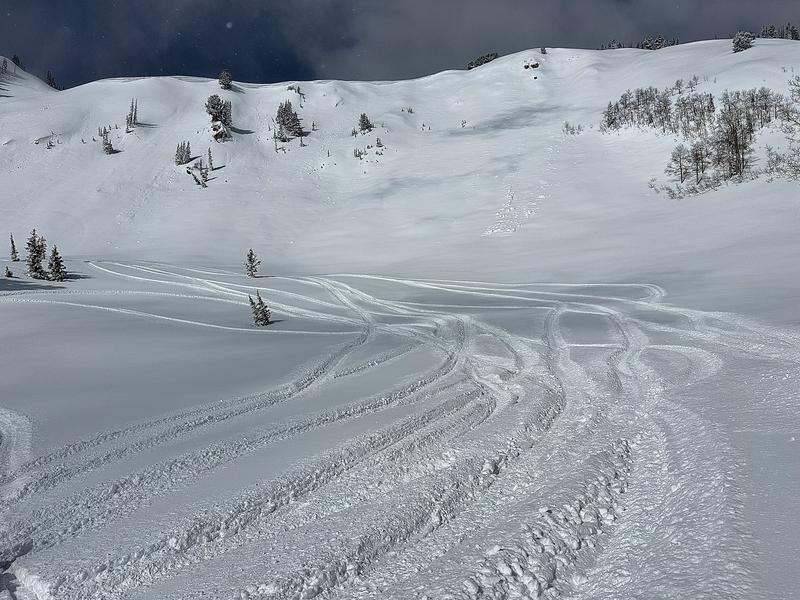
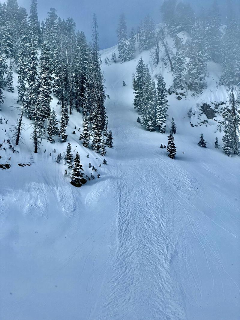
15-20" new snow total from this weekend. Noted a good bond to old snow in this area but also noted sluffing
Avalanche Problem #2
Problem
Wet Snow
Trend
Increasing Danger
Problem #2 Comments
Though the clouds covered most slopes this morning and early afternoon, we noted snow changing from blower early morning to damp by 11am despite little to no sun at 9k. This will be an increasing problem early this week.
Snow Profile
Aspect
East
Elevation
9,400'
Comments
New snow varied greatly from 8-20" in the snake creek area with highest totals in the ant knolls area into sunset peak basin. No signs of collapsing, cracking or any major instabilities and new snow appeared to bond well with old snow.
Noted dry sloughs only on N/NE slopes where angles hit closer to 40 degrees and some roller ball/wet sloughing from previous day on east to south slopes
Great riding conditions above 8700 but not bottomless. Dust on crust was more apparent under 8k
Today's Observed Danger Rating
Low
Tomorrows Estimated Danger Rating
Moderate
Coordinates