Observation Date
3/31/2024
Observer Name
Mike J
Region
Uintas » Hoyt Peak
Location Name or Route
Hoyt
Comments
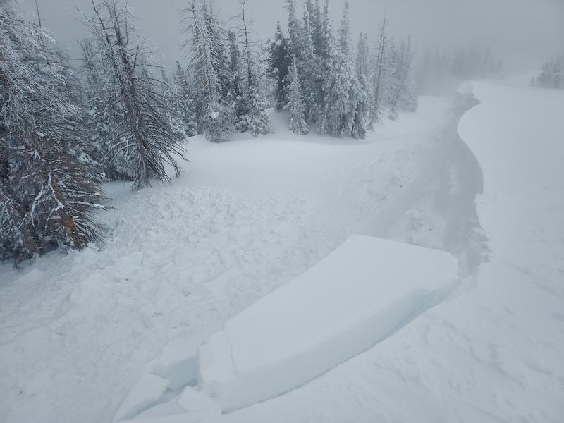
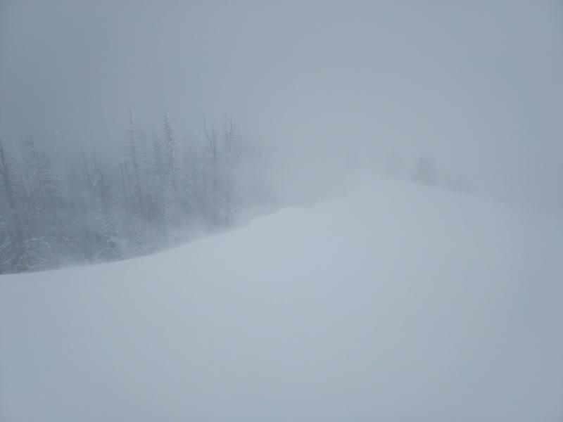
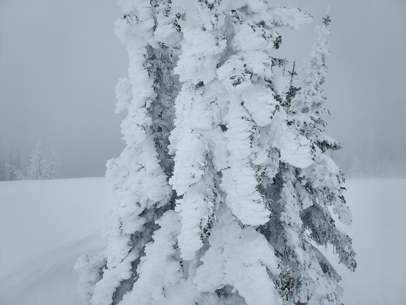
I got out today and found about 6 inches of new medium density snow since yesterday. The strong persistent SW flow has created huge cornices that were extremely sensitive to weight. First, I was able to get the line I skied the other day off of the top of Hoyt to slide again with a little cornice kick. This ran as a small soft slab that did not propagate and kept to itself down the chute. Down a little lower on the ridge, skinning, I wasn’t able to get close enough to the cornices because they have grown quite large in the last few days, however, skiing on the ridge, I was able to get close enough to trigger this cornice failure. Once it failed, I was able to get close enough to see a large portion of the slope skiers left, out of the frame, had naturaled sometime in the last 24 hours. That’s twice in a week. It was quite the blizzard today with strong persistent SW winds blowing all kinds of snow around covering my skin track each lap. Exposed trees up high are loaded with rime from the SW flow. I stayed away from the north side today and kept to lower angle south facing terrain which had excellent snow.


Today's Observed Danger Rating
Considerable
Tomorrows Estimated Danger Rating
Considerable
Coordinates


