Observation Date
3/26/2024
Observer Name
Gagne/Johnston
Region
Salt Lake » Big Cottonwood Canyon » Cardiff Fork
Location Name or Route
Cardiff from Alta
Comments
Overall we were finding general stability in Cardiff, with the only issue sluffing in the top ~15 cms of storm snow in steep terrain. The density inversions in the storm snow that were responsible for many recent avalanches had settled out and we could not get any clean shears within the storm snow. The snow was also well-bonded to the old snow surface, but given some avalanches have run on crusts at the old snow interface, I realize this may not be the same everywhere.
We did find a few small pockets of wind-drifted snow, but they were not reactive to ski cuts. We also found a few sensitive cornices and stayed well-back from corniced-ridgelines.
Solid Moderate danger where we were traveling with sluffing in the storm snow the only avalanche problem. However, winds at 11,000' were much stronger (averaging in the 30's mph with gusts in the 50's mph) so it is possible there were sensitive wind drifts at upper elevations.
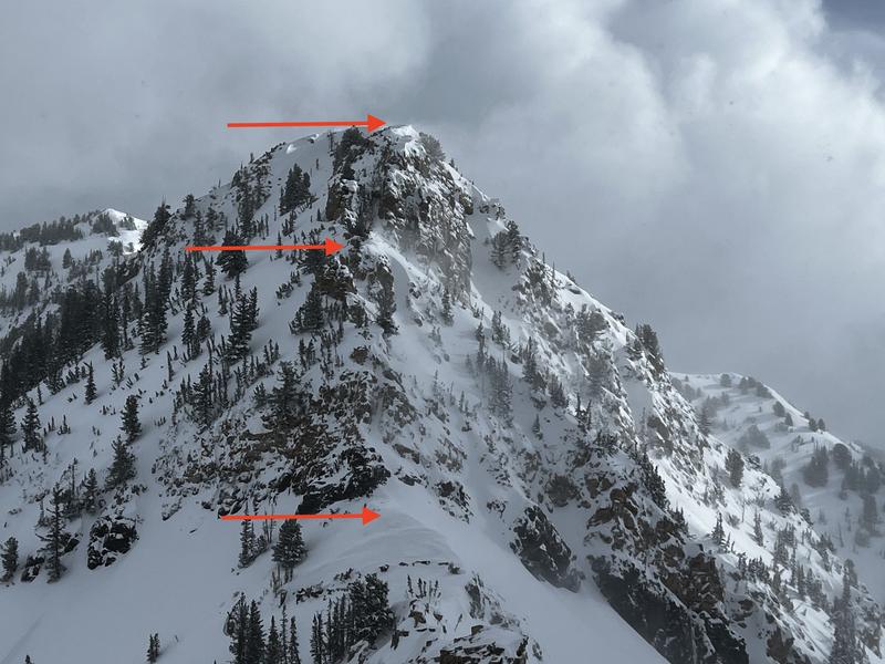
Very poor visibility, so the only photo is from a short spell of clearing where we could see wind-drifting on the leeward aspects from the northwest winds.

With sunshine forecast for Wednesday, we're back to issues with wet snow.
Today's Observed Danger Rating
Moderate
Tomorrows Estimated Danger Rating
None
Coordinates


