Observation Date
3/10/2024
Observer Name
Staples, Deutschlander, Gardiner, Berry
Region
Uintas » Mt. Watson
Location Name or Route
Near Mt Watson
Comments
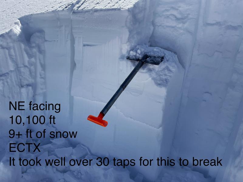
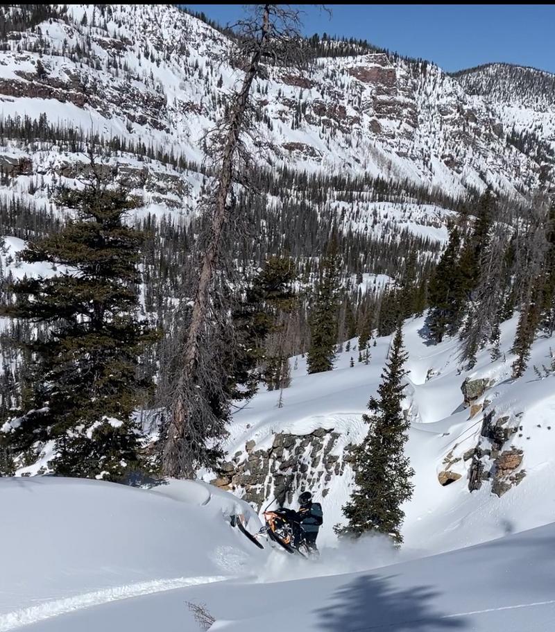
We did a big loop and covered lots of ground riding in steep terrain and climbing several chutes. The snowpack overall is deep, strong, and stable. I looked for some older weak layers buried about 3 feet or so that I've been watching. They haven't been producing avalanches, but I've been finding them and they have been breaking in my snowpack tests. Today, I could find them, but they wouldn't break after the standard 30 taps of my shovel, and would only break after I hit my shovel as hard as I possibly could - a very good sign.
Note - we never use tests to give us a green light. In this case, I have been watching test scores steadily rising and improving - so the trend is what gives a green light in combination with a lack of avalanche activity and no recent loading.
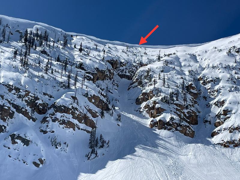
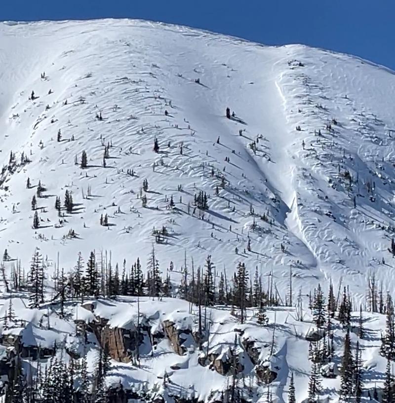
The only issue we could see was some wind drifted above treeline. Also a chunk of cornice that had dropped and pushed some snow downhill, but didn't trigger a bigger avalanches (a positive sign). Photo below.


Video
Today's Observed Danger Rating
Low
Tomorrows Estimated Danger Rating
Low
Coordinates


