Sign Up for the Utah Snow and Avalanche Workshop (USAW) on December 7th!

Observation: White Pine

Observation Date
2/28/2024
Observer Name
Bruce Tremper
Region
Salt Lake » Little Cottonwood Canyon » White Pine
Location Name or Route
White Pine
Weather
Sky
Clear
Wind Speed
Light
Snow Characteristics
New Snow Depth
5"
New Snow Density
High
Snow Surface Conditions
Dense Loose
Snow Characteristics Comments
The extremely strong winds yesterday obviously moved a lot of snow around at all elevations. Turning is difficult in all wind affected areas with stiff to hard wind slabs with almost random distribution from the extremely strong and squirrelly wind. But still we were able to find a few sheltered locations, mostly in the trees on east facing slopes and occasionally in gullies or drainages out of the wind even over 10,500 feet. Paradoxically, the lower elevations seemed to have more wind damage than upper elevation. Turning was surprisingly quite good in sheltered terrain with dry, smooth, rimed snow about 5 inches deep. Very few people were out, probably scared away by yesterday's strong wind. I broke trail most of the day.
Red Flags
Red Flags
Wind Loading
Red Flags Comments
Although the extremely strong wind did a lot of damage and created widespread, wind slabs, all the new snow seemed quite well bonded today and I was surprised to see no natural, wind slab activity anywhere visible in the drainage. Any stiff wind slabs that I jumped or thumped on small test slopes were unresponsive. It seemed like the snow came in warm and there were no obvious weak layers within the new snow or on the new-old snow interface. I did notice some minor sluffs of new snow on the very steep sections of Dog Dish that face southeast. Probably Moderate danger would cover it for the terrain I was in today, only because you always have to be suspicious of recent deposits of wind drifted snow.
Comments
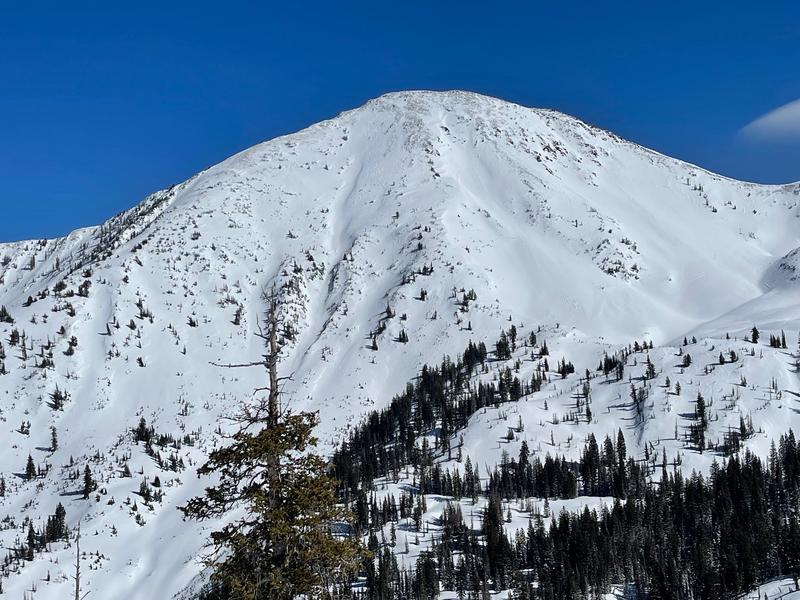
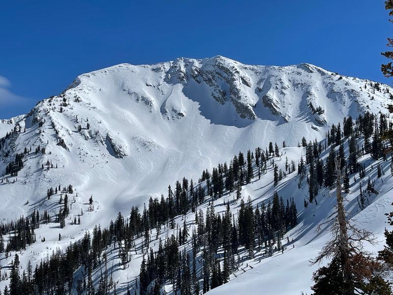
I included a couple photos to illustrate the visible wind damage and patterns, both Red Baldy and Tri Chutes.
Today's Observed Danger Rating
Moderate
Tomorrows Estimated Danger Rating
Moderate
Coordinates