Forecast for the Provo Area Mountains

Issued by Nikki Champion on
Saturday morning, February 24, 2024
Saturday morning, February 24, 2024
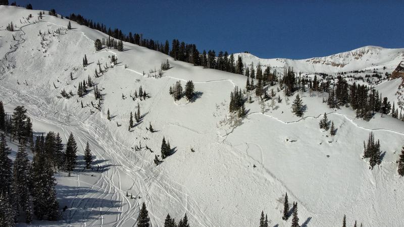
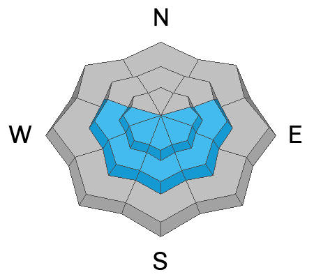
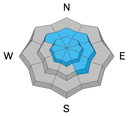
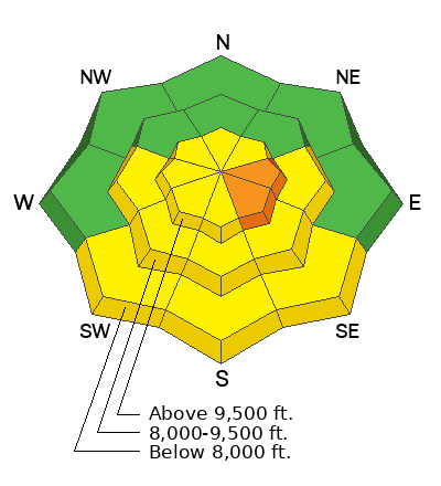
Today, the avalanche danger is CONSIDERABLE across upper-elevation slopes facing east and southeast, and MODERATE across south, southwest, and west aspects, as well as mid-elevation aspects facing east, southeast, south, southwest, and west, where triggering a persistent weak layer avalanche that breaks to a crust with faceted snow 1-3 feet deep is possible. Additionally, there is a MODERATE avalanche danger across all upper-elevation terrain for both hard or soft slabs of wind-drifted snow.
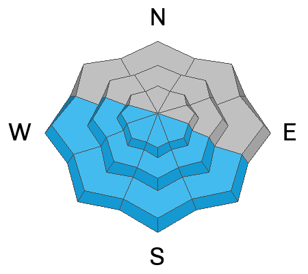
On slopes facing southwest through south and southeast, the avalanche danger will rise to MODERATE as the snow surface heats up, potentially leading to small wet-loose avalanches on solar aspects. On mid and upper-elevation slopes facing southeast, any wet avalanches may trigger larger slab avalanches, failing on the persistent weak layer (PWL). The remaining aspects have a LOW avalanche danger.
It's crucial to carefully evaluate snow and terrain today, identifying potential hazards, as human-triggered avalanches are possible.
Low
Moderate
Considerable
High
Extreme
Learn how to read the forecast here


