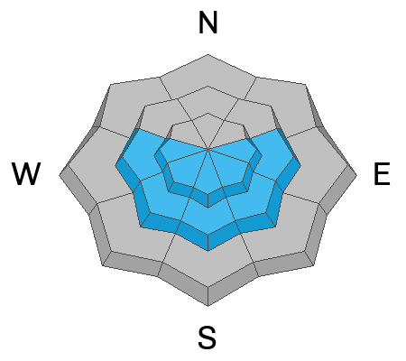
Under mostly cloudy skies, the mountain temperatures have finally cooled off and range from 20-25 °F. Winds from the northwest blow 10-15 mph across most upper elevations. Above 10,000', the wind is a bit stronger and blows from the northwest at 20-30 with gusts into the 30s.
Today, we can expect mostly cloudy skies with some snow showers in places this morning. As the day wears on, a short period of high pressure will build into the area. We will see mountain temperatures rising into the low to mid-30s °F with partly cloudy to clear skies. The wind will remain from the northwest today, blowing 10-20 mph across the upper elevation.
In the past 24 hours, we picked up another 2-5 inches of new snow (.35-0.51" swe). Across northern Utah for the past four days (since February 19), the storm totals are roughly:
- Upper Cottonwoods: 12-27" snow (2.03-3.20" swe)
- Park City Ridgeline: 10-17" snow (1.5-1.94" swe)
- Provo Mountains: 8-12" snow (2.78 swe)
- Ogden Mountains: 18-29" snow (2.35-2.71" swe)
Four avalanches were reported from the backcountry yesterday.
One rider on East Bowl of Silver Fork triggered a small 8" x 25' wind slab on a slope cut; they were caught and carried 200-300' downhill, deployed an airbag, lost a ski, and thankfully, had no injuries.
The other avalanche that caught my eye was in
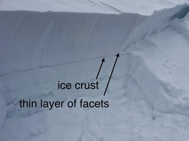
Caribou Basin (backside of Brighton). This was on a southeast aspect, and the avalanche failed 2' deep x 100 ' wide likely failing on the crust faceted interface that was buried on Valentine's Day (photo below). There was also a report of a large booming collapse on a southeast-facing slope on peak 10,420 in upper Big Cottonwood.
Avalanche in
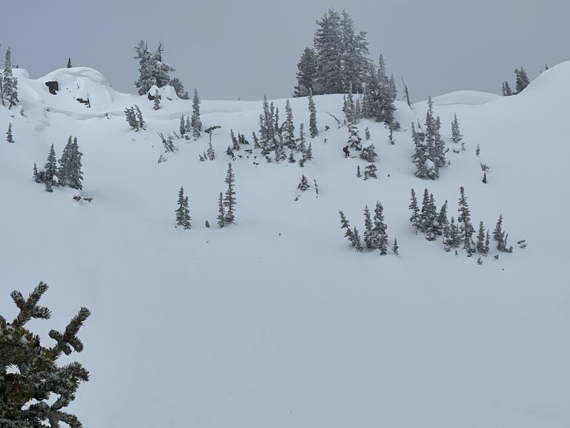
White Pine, Dog Dish, 14" deep x 300' wide. This was likely a new snow soft slab avalanche. The width is alarming to me.


