Observation Date
2/18/2024
Observer Name
Magerl
Region
Skyline » Fairview Canyon » White Pine Fork
Location Name or Route
White Pine Fork
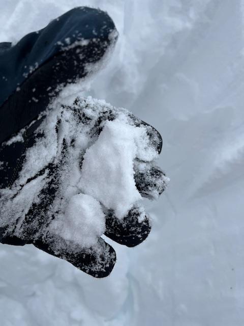
Pit at 8,900 feet, NNW-facing. Total depth 190cm. Bottom 50 cm is still loose grains, but smaller and more cohesive than anything I have seen on the bottom layer in the past six weeks. I could press the bottom layer into snow cones that would stay consolidated. Above the weak layer, a deep, dense layer (knife) of 30 cm that ran from 50 cm from the ground to 80 cm from the ground, then 40 cm of pencil. Above that, 60 cm of one finger, then the storm layer of four fingers. There is a thin layer at 120 cm between the pencil and the one finger. ECT X. The dense layer was very firm, and a chore to shovel through. It easily supported my weight when standing on a shelf to dig and explore. When forced to fail with a shovel, it was very reluctant to budge, and cracked but did not slide on the small ice layer at 120 cm from the ground. Sure seems like the weak layer is healing.

Today's Observed Danger Rating
Moderate
Tomorrows Estimated Danger Rating
Low


