Observation Date
2/10/2024
Observer Name
Santi
Region
Salt Lake » Big Cottonwood Canyon » Guardsman Pass area
Location Name or Route
Guardsman pass/Tri-county peak
Comments
Day 3 of the an all adaptive level 1 course. Found more snow that expected in guardsman as well as very cold temps. Snow was textbook utah blower pow. Super low density made for easy trail breaking and great views. Saw lots of long running sluffs on many slopes from afar. Both natural and Human triggered
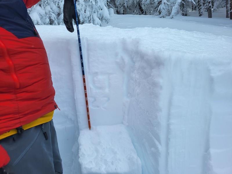
Dug a quick demo pit on our way to the top of tri country peak at 9800ft NW aspect.
Found some density changes withing the top few 20-30cm that produced some non-planar failures both with HST and CT
Lower down found the the New/Old interphase still produces results with a CT22Q1 and ECTN23. Better than some results I saw from previous tests in similar aspects and elevations

Today's Observed Danger Rating
Considerable
Tomorrows Estimated Danger Rating
Considerable
Coordinates


