Sign Up for the Utah Snow and Avalanche Workshop (USAW) on December 7th!

Observation: Logan Dry Canyon

Observation Date
2/8/2024
Observer Name
weed, pagnucco
Region
Logan » Logan Dry Canyon
Location Name or Route
Logan Dry, Little Mountain Area
Weather
Sky
Overcast
Precipitation
Moderate Snowfall
Wind Direction
West
Wind Speed
Light
Weather Comments
Periods of heavier snowfall at times. Mostly poor visibility with clearing in the afternoon.
Snow Characteristics
New Snow Depth
9"
New Snow Density
Low
Snow Surface Conditions
Powder
Snow Characteristics Comments
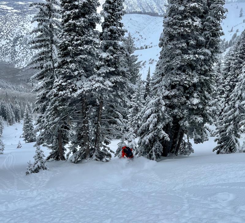
We found excellent and very pleasant, right-side-up powder conditions.
Red Flags
Red Flags Comments
We observed no obvious signs of instability.
Avalanche Problem #1
Problem
Wind Drifted Snow
Trend
Decreasing Danger
Problem #1 Comments
We avoided being directly under ridge-top cornices that were built out and overhanging. We did not observe any obvious drifts or wind slabs, but some may have been hidden under several inches of fresh powder.
Avalanche Problem #2
Problem
Persistent Weak Layer
Trend
Decreasing Danger
Problem #2 Comments
We found evidence of two large hard slab avalanches from late January that had failed on the December PWL. In this area the snow is deep (more than about 7') and it's apparently stable. The faceted weak layer appears to be gaining strength and the stiff slab layer of January snow capping it is really thick and hard. Dangerous avalanches failing on a PWL are unlikely but not impossible...
Snow Profile
Aspect
Northwest
Elevation
8,900'
Slope Angle
35°
Comments
Stability tests in the Oscar Mayer snowpit (near the flank of the late January avalanche) showed...CT 25 Q2 and ECTN 26 @ 179 cms.
We found outstanding powder conditions today...
Today's Observed Danger Rating
Moderate
Tomorrows Estimated Danger Rating
Moderate
Coordinates