Observation Date
2/4/2024
Observer Name
Gagne/Johnston (x 2)/Heilweil/Peterson
Region
Ogden » Ben Lomond » North Fork Park
Location Name or Route
North Fork Park
Comments
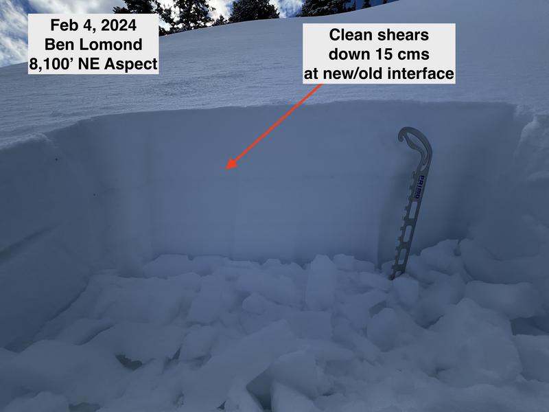
We traveled as high as 8,300' and found a crust on all aspects, with 5-15 cms new snow on top of the crust. Above 7,500', the bond of the new snow to the crust was poor on north and east aspects, with a thin layer of near surface facets (NSF) just above the crust where shovel tilt tests produced an easy, clean shear. The NSF layer above the crust does not look like a big problem, but any wind or storm slab may be sensitive to this weak interface and the crusts will provide an easy bed surface for avalanches to run on.
Photos:
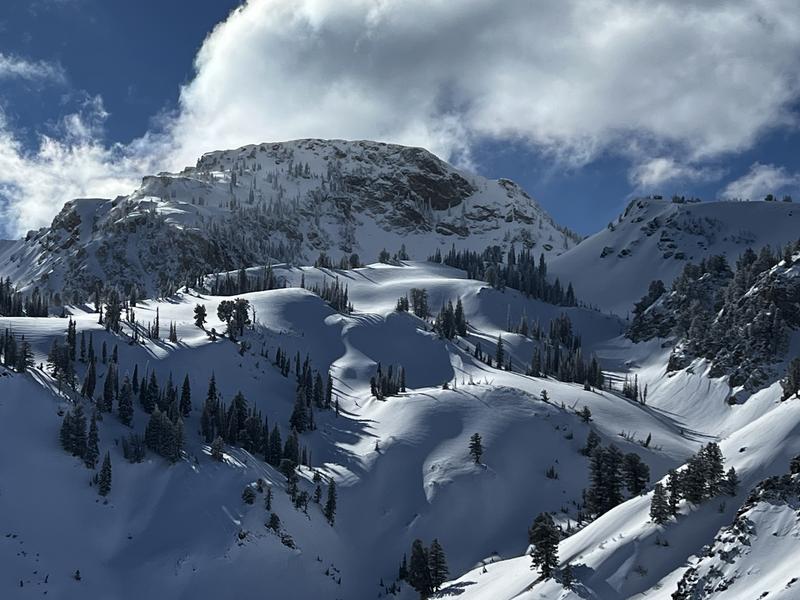
Pic #1 The skies cleared early afternoon providing great views in the alpine.
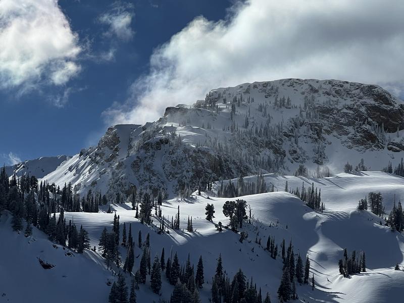
Pic #2 The south winds began to drift snow as winds increased in the afternoon.
Pic #3 Profile of the top 20 cms of the snow surface showing the weak snow just above the crust.


Today's Observed Danger Rating
Moderate
Tomorrows Estimated Danger Rating
Moderate
Coordinates


