Observation Date
2/3/2024
Observer Name
Mike J
Region
Uintas
Location Name or Route
Hoyt Area
Comments
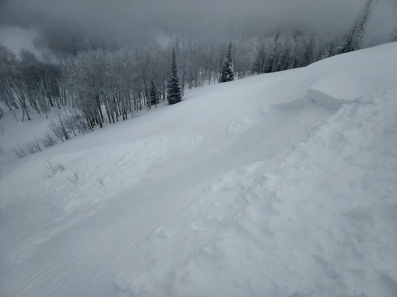
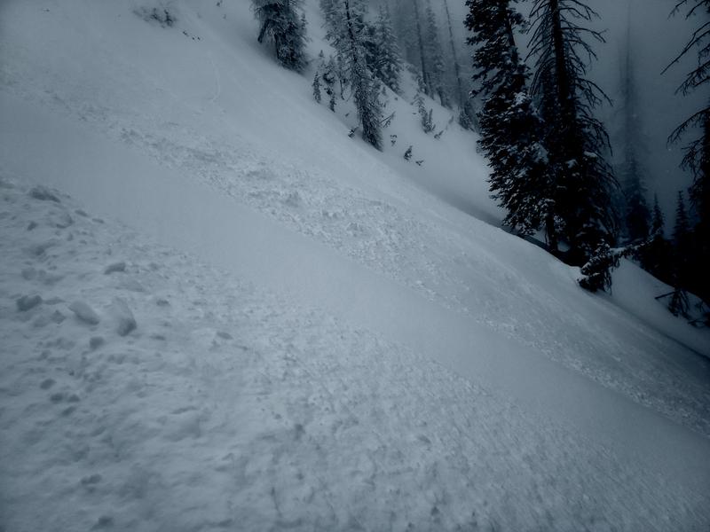
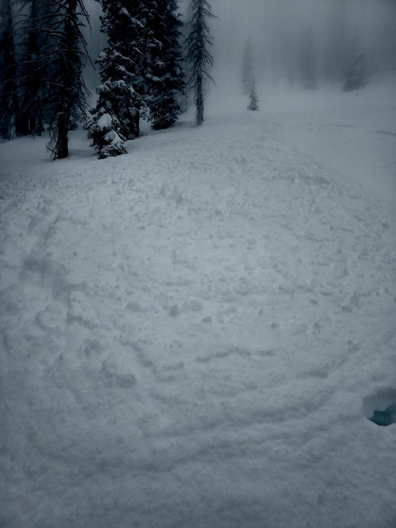
I got out early this morning to find about 8 inches of new medium density snow. As I suspected, on the steep north I was able to get a narrow fast running pocket to pull out and run through some trees about 15ft by 300ft. I little lower, on an ESE loaded roll, I was able to get small piece to slide. Very different pre-storm surfaces, however, moving snow on both sides of the compass. Thursday’s strong east winds have loaded some up the northwest facing cornices that were recently virtually non-existent.


Today's Observed Danger Rating
Considerable
Tomorrows Estimated Danger Rating
Considerable


