Observation Date
1/21/2024
Observer Name
PD
Region
Salt Lake » Little Cottonwood Canyon » Grizzly Gulch » Michigan City
Location Name or Route
Honeycomb Peak
Comments
We were curious how big of a toll the heavy winds brought in by recent storms had taken on the snowpack and were also curious about whether or not the PWL was healing on SW aspects at high elevations.
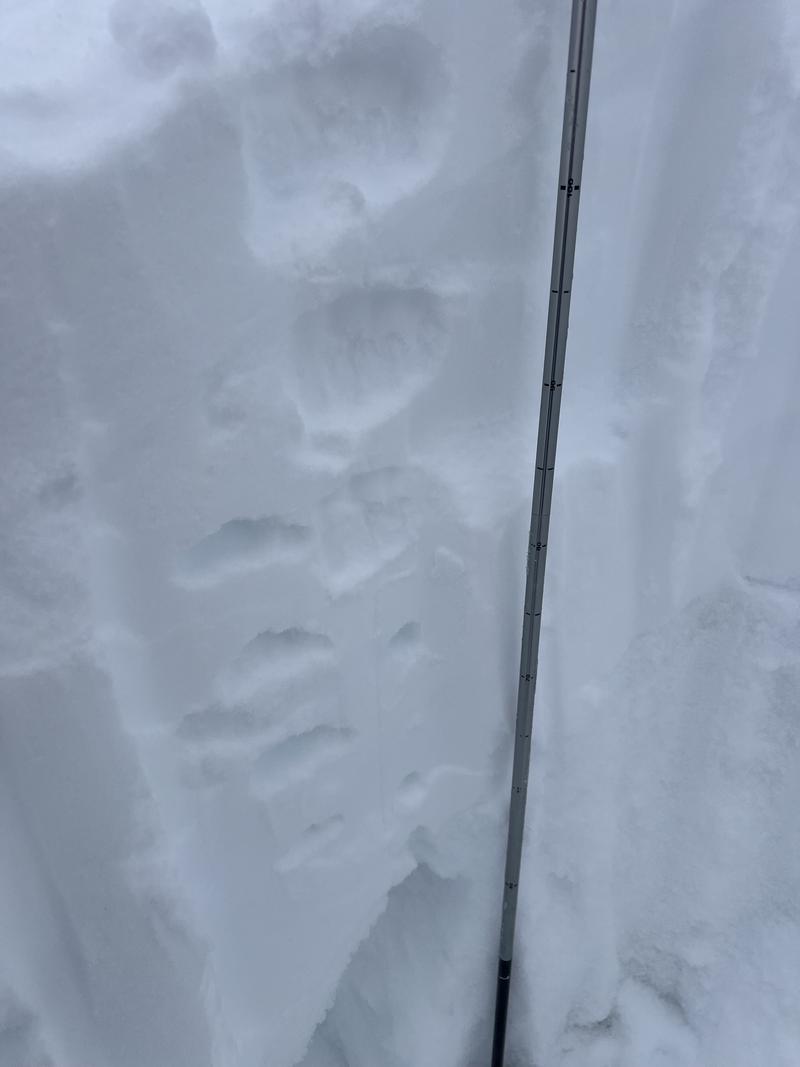
We dug a pit above Michigan City, a little over 100 vertical feet below Honeycomb Peak on a SW aspect (230 deg.) at 10350 ft. We were surprised to find a HS of only 120cm, likely due to transport from the high winds during recent storms. Fist-hard facets sat from the ground up to 60cm (we were shocked by how loose and dry they were). Sitting on top was a slab beginning with F (new snow) and gradually hardening to 1F at the bottom of the slab, just above the layer of facets.
ECTN22, failing at 60 cms above the ground at the interface between the facets and the slab. We were not able to get propagation despite the poor snowpack structure.
We were pleasantly surprised by the quality riding found on all aspects of riding in Grizzly Gulch. The dense and supportable snow brought during this weekend's storm made for fun surfy turns.
Our takeaways
- Consistent with the forecast, despite the poor snowpack structure it is becoming increasingly more difficult to trigger a slide.
- There is a ton of variability in the HS around the Central Wasatch. Even micro-features could have drastically different snow depths due to the extreme winds the recent storms have brought in.
- We will need a lot more evidence of this PWL healing or becoming dormant before stepping out

Today's Observed Danger Rating
Considerable
Tomorrows Estimated Danger Rating
Considerable
Coordinates


