Sign Up for the Utah Snow and Avalanche Workshop (USAW) on December 7th!

Observation: Weber Canyon

Observation Date
1/20/2024
Observer Name
Mike J
Region
Uintas » Weber Canyon
Location Name or Route
Weber Canyon
Weather
Sky
Obscured
Precipitation
Light Snowfall
Wind Direction
Southeast
Wind Speed
Strong
Weather Comments
It was warm in the morning, barely freezing up high. Light snow on and off then strong SE winds around 3:00 blowing lots of snow around on the ridgeline.
Snow Characteristics
Snow Surface Conditions
Powder
Wind Crust
Snow Characteristics Comments
Snow is super dense and supportive. Go anywhere conditions.
Red Flags
Red Flags
Recent Avalanches
Heavy Snowfall
Wind Loading
Avalanche Problem #1
Problem
Wind Drifted Snow
Trend
Increasing Danger
Avalanche Problem #2
Problem
Persistent Weak Layer
Trend
Same
Snow Profile
Aspect
Northwest
Elevation
10,300'
Slope Angle
24°
Comments
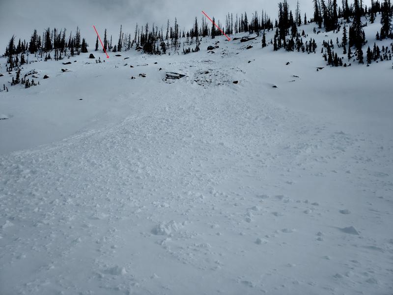
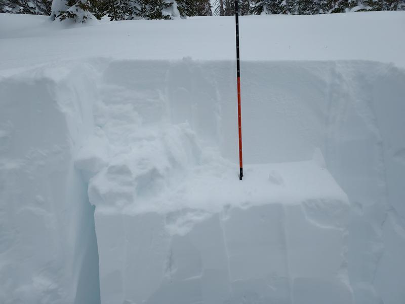
The snowpack above the basal facets is stout up high. There is a weak layer within the new snowpack about 45 cm below the surface, however, it is stubborn to slide off block. This was the only weak layer I could identify in the upper snowpack, so along with our deep PWL, that will be the one to keep an eye on as more snow is loaded on top. I discovered a nasty narrow slide the pull the entire snowpack off a rocky rollover during the last cycle on the 17th.
Today's Observed Danger Rating
Considerable
Tomorrows Estimated Danger Rating
Considerable
Coordinates