Join us at our 2nd Annual Blizzard Ball

Forecast for the Skyline Area Mountains

Brett Kobernik
Issued by Brett Kobernik on
Monday morning, January 15, 2024
DANGEROUS AVALANCHE CONDITIONS CONTINUE!!
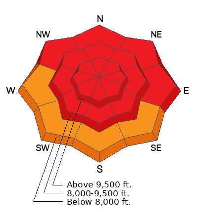
The avalanche danger is HIGH today on the Skyline.
Travel in avalanche terrain is not recommended.
Low
Moderate
Considerable
High
Extreme
Learn how to read the forecast here
Avalanche Warning
What
The avalanche danger for the warning area is HIGH.
When
In effect from 6am MST this morning to 6am MST Tuesday.
Where
For the mountains of northern and central Utah and southeast Idaho, which includes the Wasatch Range...the Bear River Range...Uinta Mountains...Manti-Skyline plateau...and the Mountains of Southwestern Utah.
Impacts
Strong winds and heavy snowfall have created dangerous avalanche conditions. Avalanches failing on a widespread persistent weak layer buried under the new snow are very likely. Backcountry travel should be avoided.
Weather and Snow
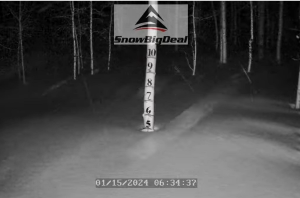
Current Conditions: The weekend storm has been a bust for the central and southern Skyline with only about 3 to 6 inches of snow trickling in since Friday. The northern end around Fairview Lakes/Electric Lake has done quite well though. Another 5 to 6 inches stacked up overnight bringing storm totals up close to two feet since Friday. This brings total depth up to 5 feet:
The wind has been relentless with consistent moderate to strong speeds from the west. Temperatures were in the mid to upper 20s on Sunday and dropped into the low 20s overnight. Snow conditions are changing. The surface snow is becoming more dense and supportable making travel easier. It has a "thick" feel to it until you step off your skis or snowmobile and sink to your waist.
Mountain Weather: The tail end of the storm is moving through with some light snowfall still this morning. We might see a little more snow during the day but it probably won't add up to much. Wind from the west will continue in the moderate to strong speed category this morning and eventually slow later today. Temperatures will remain in the low 20s and head for single digits tonight. Tuesday looks like a clear day with temperatures rebounding into the 20s. Another storm is shaping up for Wednesday and it's currently looking like it may bring 3 to 6 inches of new snow.
Recent Avalanches
Visibility was again poor Sunday but I did find more fresh avalanche activity as I prowled around Huntington Canyon. This confirms that the natural avalanche cycle continues.
Ad
Avalanche Problem #1
Persistent Weak Layer
Type
Location
Likelihood
Size
Description
Almost every red flag is right in front of us:
  • Four days of natural and human triggered avalanches
  • Widespread cracking and collapsing
  • Heavy snowfall
  • Strong wind and visible drifting snow
  • Poor snowpack structure
Dangerous conditions still exist today and will continue to be dangerous for days to come. This is why we call the weak sugary snow at the base of our snowpack a Persistent Weak Layer.
With a clear day anticipated for Tuesday and potentially many people heading into the backcountry, this will be the most likely day for an avalanche accident.
General Announcements
This forecast is from the U.S.D.A. Forest Service, which is solely responsible for its content. This forecast describes general avalanche conditions and local variations always occur.