Observation Date
1/9/2024
Observer Name
Erik Fullmer
Region
Provo » Provo Canyon » North Fork Provo R. » Aspen Grove
Location Name or Route
Aspen Grove
Comments
TLDR: Aspen Grove area is ready to unglue, i.e. a decent load will create avalanches. A serious load might have long running natural avalanches.
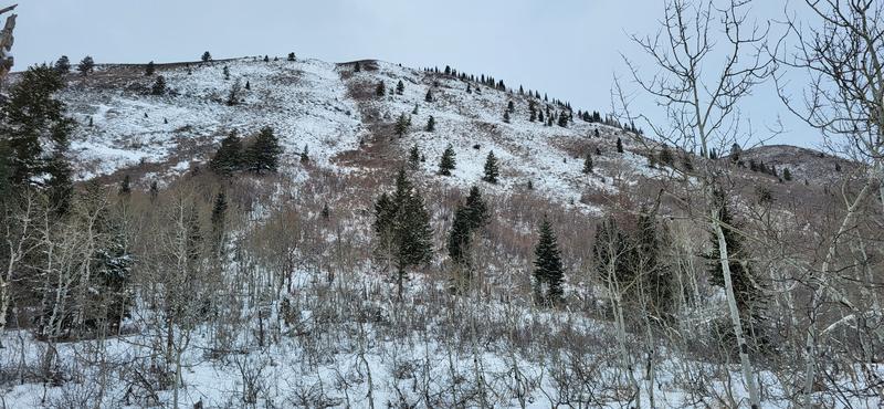
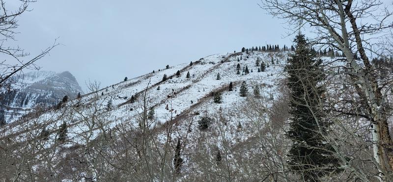
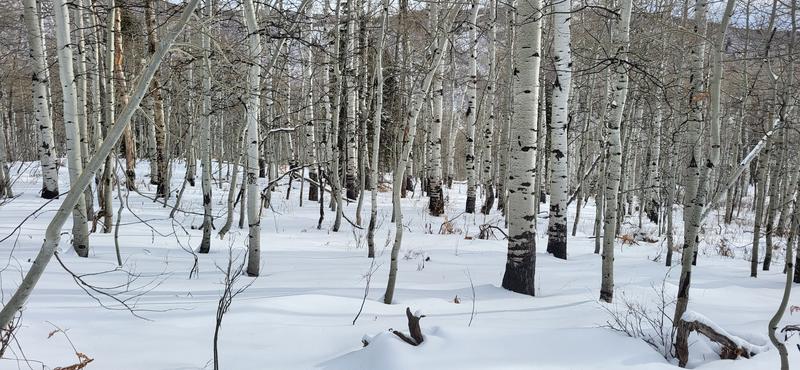
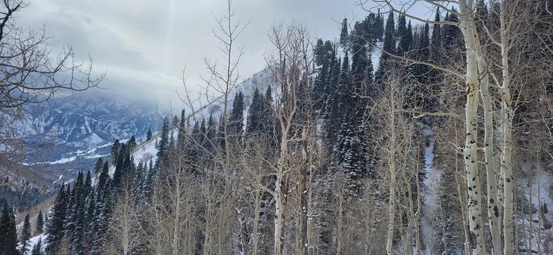
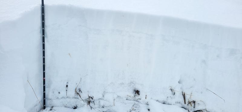
Sharing a snow profile with stability tests before the weak Provo area snowpack is deeply buried. I also have photos below to show some of the coverage for those that ride Bob's and Sue's as their "safe zones". Any polar aspect above 7800' is 1.5-3 feet of very weak snow. The solars are a either ground or stout 1-3 inch crusts (with approx. 6-12 inches of facets underneath and a few inches of decomposing new snow on top. Those crusts are topped with facets at the new snow/old snow interface).
Pretty much everywhere except where snow has melted out: Weak layer = check (multiple weak layers) , bed surface = check, slab = it's coming.
Snow was picking up from S-1 to S1 as I left at 1:00 PM. I could hear the wind all day on the higher ridgelines of Timpanogos. I expect the danger rating will end at Considerable by the end of day.
-
Photo 1: view of Bob's from the easterly base
-
Photo 2: view of Bob's due NE from Bob's
-
Photo 3: coverage at 7680' due east of Sue's
-
Photo 4: view of NE aspect of Sue's
-
Photo 5: snow profile before assessment
Today's Observed Danger Rating
Moderate
Tomorrows Estimated Danger Rating
Considerable
Coordinates


