

Observation Date
1/6/2024
Observer Name
Gagne/Duvernay
Region
Ogden » Ben Lomond » Cutler Ridge
Location Name or Route
Ben Lomond - Cutler Ridge
Comments
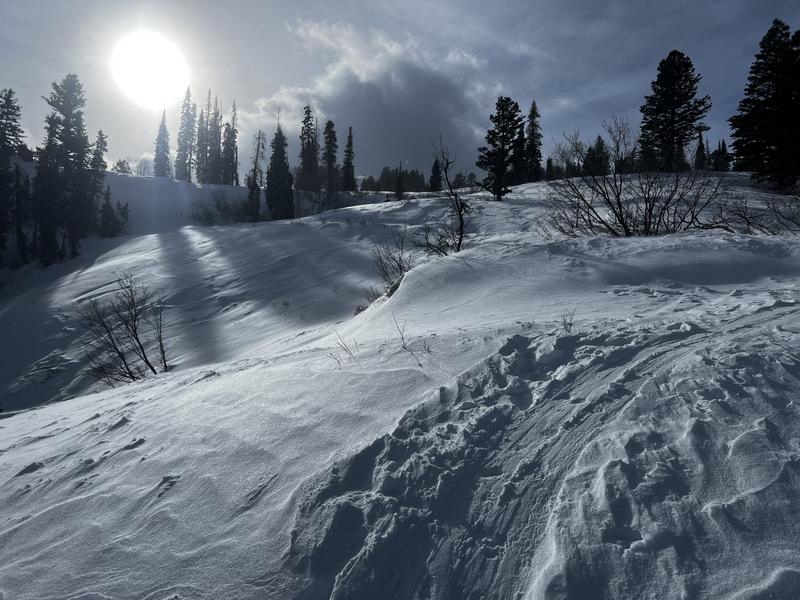
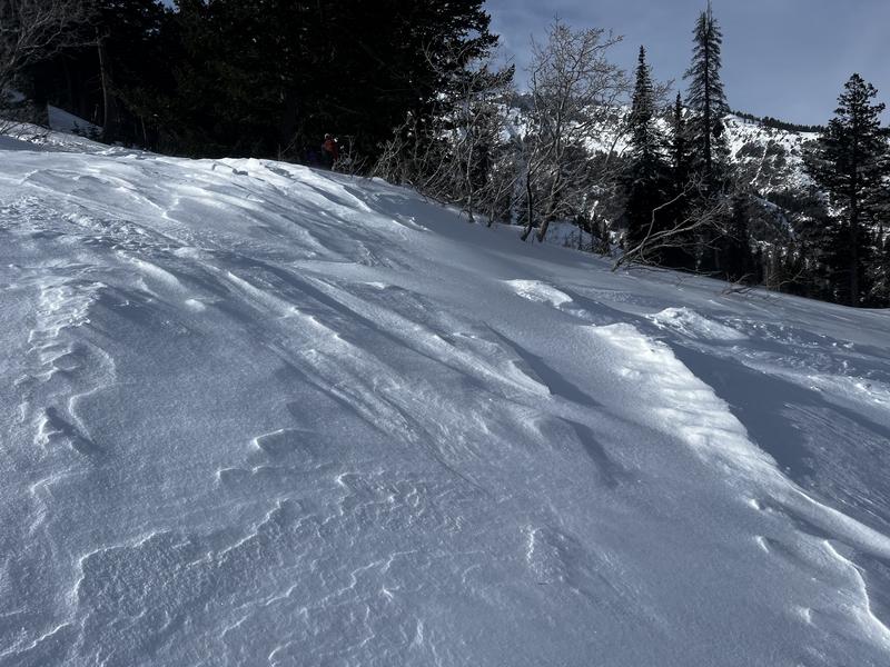
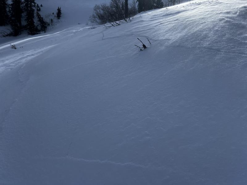
Today's goal was to see how well preserved the old snow surface was underneath the small amounts of new snow from Friday, Jan 5. On Thursday, Jan 4, I was on Rodeo Ridge and was finding weak snow on all snow surfaces facing west, north, and east, from valley bottoms to 8,600' at the top of the Ogden Skyline ridgeline. With light winds, the 5-10 cms of snow from 1/5 preserved the weak snow underneath and it was easy to get sluffing in the new snow on steeper aspects. Additionally, we were finding pockets of wind-drifted snow above 7,000' from the moderate to strong southwest winds. These drifts were shallow - 5-15 cms thick - but very reactive as they formed on top of weak, faceted snow underneath.
Bill Brandt was also on Cutler Ridge today (1/6) and found the same conditions.
With more snow and wind beginning Saturday night and lasting through much of this coming week, the avalanche danger will rise and remain elevated for quite some time.
Photos of wind effects and cracking in fresh wind drifts.
With a rising avalanche danger and a persistent weak layer (PWL) problem, we have to find the slopes that currently do not have a PWL. Most slopes facing south and southeast are essentially bare (I do not have enough data for southwest aspects) and these slopes will be the first to stabilize.
Today's Observed Danger Rating
Moderate
Tomorrows Estimated Danger Rating
Considerable
Coordinates