This morning: In the Murdock Peak area along the north end of the Park City ridgeline, the PCMR Ski Patrol will be doing explosives work on PCMR property. Please avoid that area.
Skies are partly cloudy. Mountain temperatures are in the mid to upper teens. Winds picked up out of the south-southwest and are blowing 10-15mph with gusts to 20. Along the most exposed ridgelines, hourly wind speeds are clocking 25-30mph with gusts to near 50. These wind speeds should start to diminish soon.
For today, we'll have increasing clouds, temps in the 20s, and winds from the south, blowing 15-20mph.
The Outlook: Yes, Virginia, there really is a pattern change. We may even see some flurries tonight. It's a messy forecast, but we'll see off and on light, low density snowfall through early Saturday that may add up to 5-10"+ of new. Maybe more.
More storms on tap....
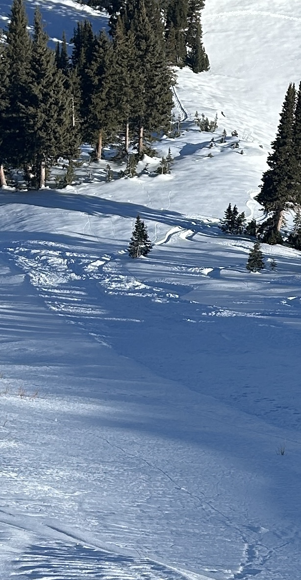
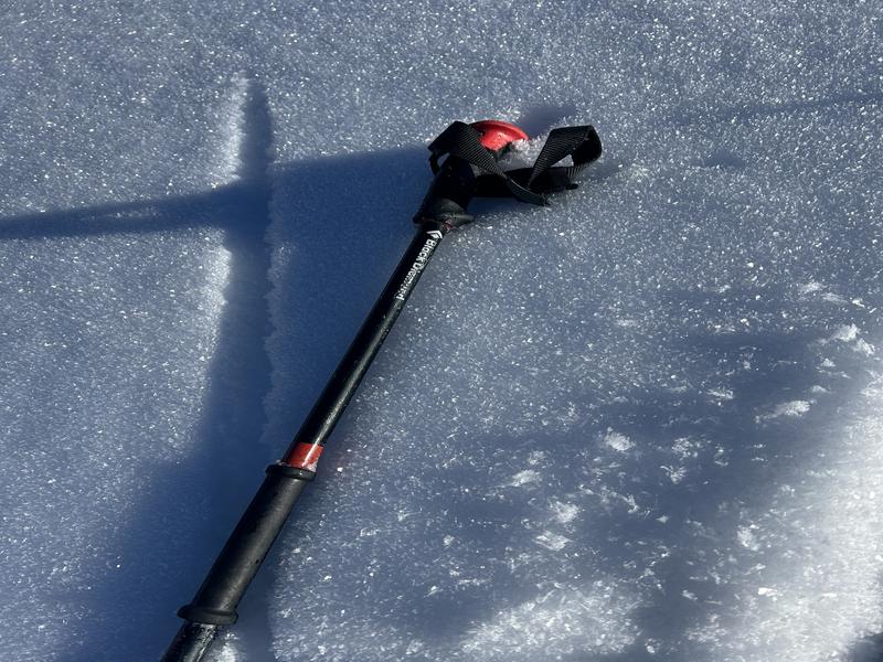
On the shady aspects, the snow surfaces have become so weak and cohesionless, it's easy to initiate loose dry "facet" sluffs in steep terrain. These are not to be taken lightly, as they have enough "oomph" and mass to knock a rider off their feet, carry them over cliffbands, into trees, or possibly bury them in a steep-walled terrain trap,
Read recent observations from the backcountry
HERE 


