Current Conditions: Temperatures are slightly cooler than a few days ago but still remain unusually warm for this time of the season. Thursday's high temperatures were in the mid 30s and cooled into the low to mid 20s overnight. Wind has been calm to light from the southwest. The snow surface is a complete mixed bag with heat crusts, wind crusts, and areas of loose sugary snow on the surface. The good news is that the shallow snowpack actually remains fairly supportable making for easy travel on skis and snowmobiles.
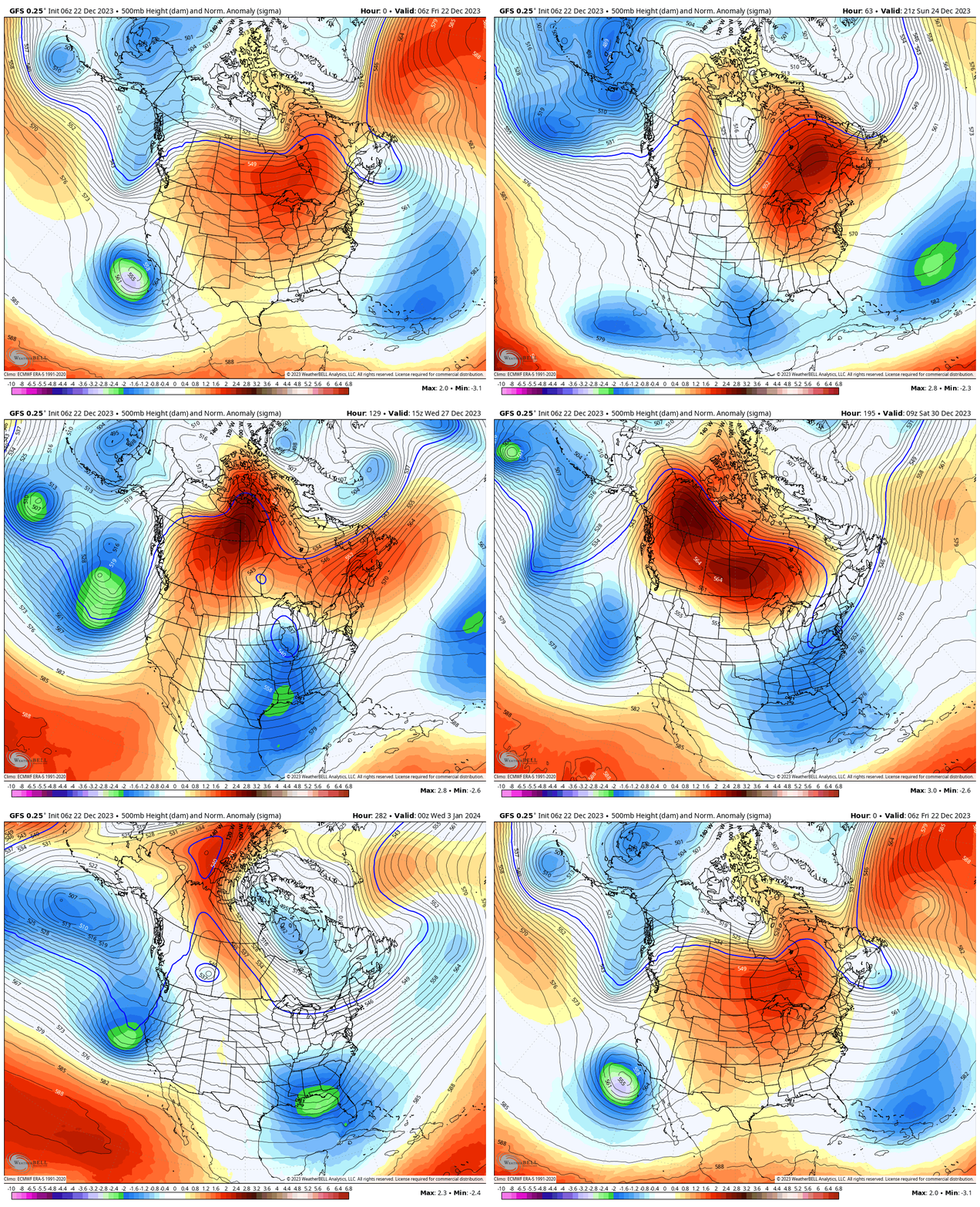
Mountain Weather: We'll see partly cloudy skies today with high temperatures into the low 30s and light wind from the south. A storm system will move through on Saturday but it's not going to do much for our region. It will bring cooler temperatures and perhaps a trace of new snow. The majority of the action stays to our south and southeast. This morning, weather models are hinting at a wetter period after the new year but the pattern still looks messy and all mixed up to me. It does not inspire confidence in me. Below is an overly simplified model run through Jan 7. Blue/green basically represents low pressure storm systems. You'll notice Saturday's storm drifting underneath our region then really nothing until after the new year.


