Sign Up for the Utah Snow and Avalanche Workshop (USAW) on December 7th!

Observation: Butler Basin

Observation Date
12/20/2023
Observer Name
Torrey & Davis
Region
Salt Lake » Big Cottonwood Canyon » Butler Fork » Butler Basin
Location Name or Route
Butler Basin
Weather
Sky
Broken
Precipitation
Light Snowfall
Wind Direction
South
Wind Speed
Light
Weather Comments
Bit of everything today. Clouds in the AM eventually broke up and the sun poked through. Clouds moved back in and very light snow started to fall early afternoon. No accumulation.
Snow Characteristics
New Snow Depth
1"
Snow Surface Conditions
Powder
Melt-Freeze Crust
Damp
Snow Characteristics Comments
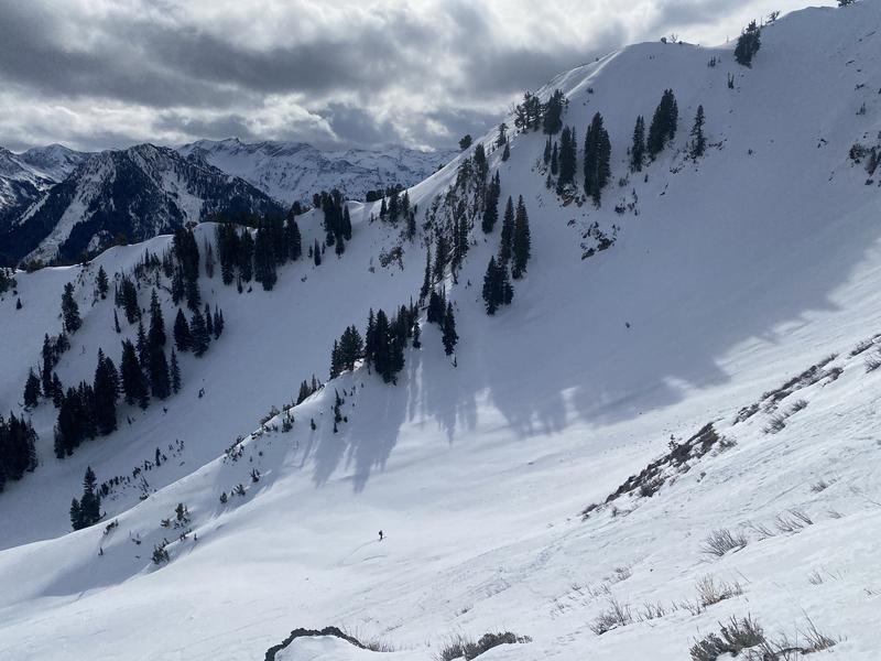
Pleasantly surprised to find good skiing on both north and south aspects. Steep due south aspects had a mostly supportable melt-freeze crust and soft edgeable surface conditions. A generally poor-refreeze overnight was evident but wasn't completely punchy until later in the day at lower elevations.
Avalanche Problem #1
Problem
Persistent Weak Layer
Trend
Decreasing Danger
Problem #1 Comments
Looking at the snow near the surface today, the snow did not seem as weak as expected likely due to the warm and damp weather conditions. On a northeast aspect at 9,200' we found a shallow snowpack roughly 70cm in Butler Basin. The entire snowpack was moist, including the early season layer of facets. On a nearby slope that had previously avalanched in early December though the snowpack was much more dry and weaker.
Snow Profile
Aspect
Northeast
Elevation
9,200'
Slope Angle
20°
Today's Observed Danger Rating
Low
Tomorrows Estimated Danger Rating
Low
Coordinates