Sign Up for the Utah Snow and Avalanche Workshop (USAW) on December 7th!

Observation: Circle Awl

Observation Date
12/18/2023
Observer Name
Kelly, Pressman
Region
Salt Lake » Big Cottonwood Canyon » Circle Awl
Location Name or Route
Butler- Circle Awl
Weather
Sky
Few
Wind Direction
Southwest
Wind Speed
Light
Weather Comments
Winds were light to moderate from the SSW across the ridgelines. Calm winds down in the trees with increasing high thin clouds throughout the afternoon. Warm temperatures with 48°F at one snowpit location at 8580'. Inverted temperatures. Nearby Reynold's weather station at 9400' was recording 42°F around the same time while the base of Big Cottonwood (4800') was 32°F.
Snow Characteristics
Snow Surface Conditions
Damp
Snow Characteristics Comments
Below 8k all aspects were wetted on the surface with increasing size of wet roller balls as elevation decreased to 7200'. Largest outlier rollerballs were up to 2' in diameter and breaking apart on east facing aspects in the trees. Most rollerballs in the 4-10" range and all breaking up before en-training any more snow.
Below photo Surface Hoar mixed with melt forms on an east facing slope at 7600'
Red Flags
Red Flags
Rapid Warming
Red Flags Comments
The snowpack took some heat. Below 7800' the snow was sticky enough to be wetted through the top 4-6" on all aspects. The moisture had not penetrated to the ground layers or even midpack.
Avalanche Problem #1
Problem
Wet Snow
Trend
Decreasing Danger
Avalanche Problem #2
Problem
Persistent Weak Layer
Trend
Decreasing Danger
Problem #2 Comments
In the location we dug on a southeast aspect at 8580' the PWL was wet.
Snow Profile
Aspect
Southeast
Elevation
8,600'
Slope Angle
21°
Comments
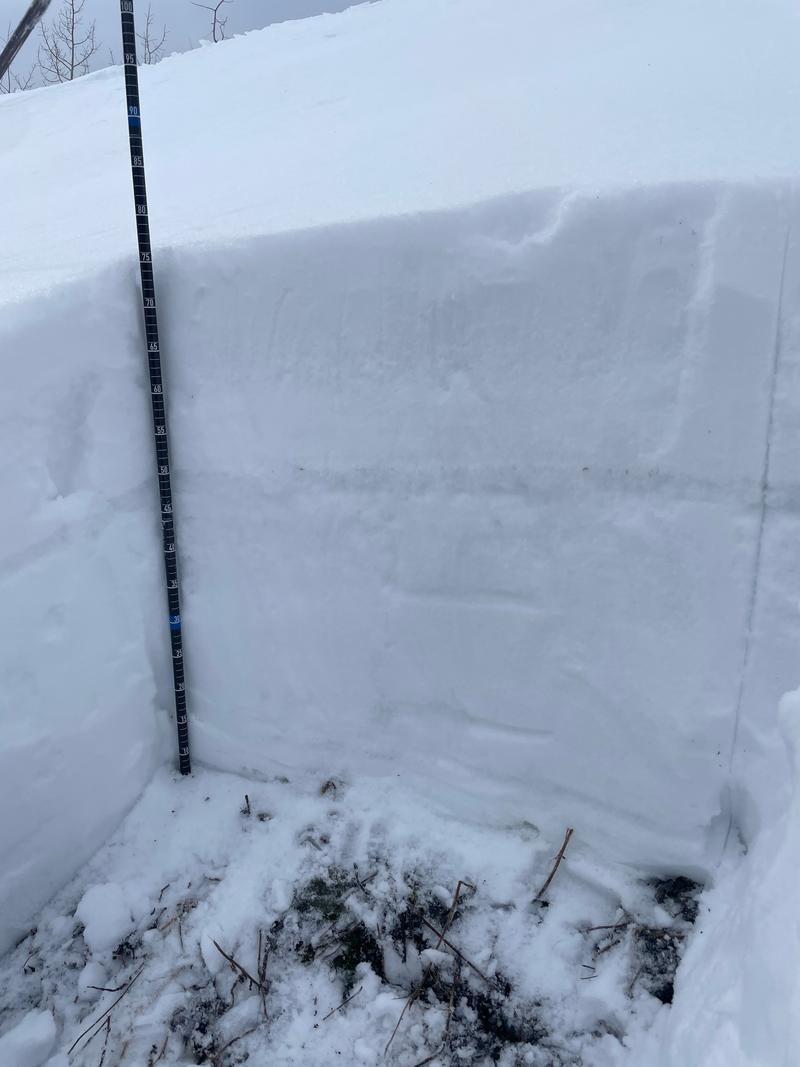
Total depth of snow was 2.5'. This was above average for most the the area we traveled in from 7,200-9,000' with a lot less snow on the southerly aspects where you could see summer surface and brush poking through.
The pencil hard melt-freeze crust 1.5' off the ground had dry facets underneath and that is where stability tests showed us we had failures. The snow temperatures in this location show us how the mid-pack melt-freeze crust is driving faceting. Read more HERE.
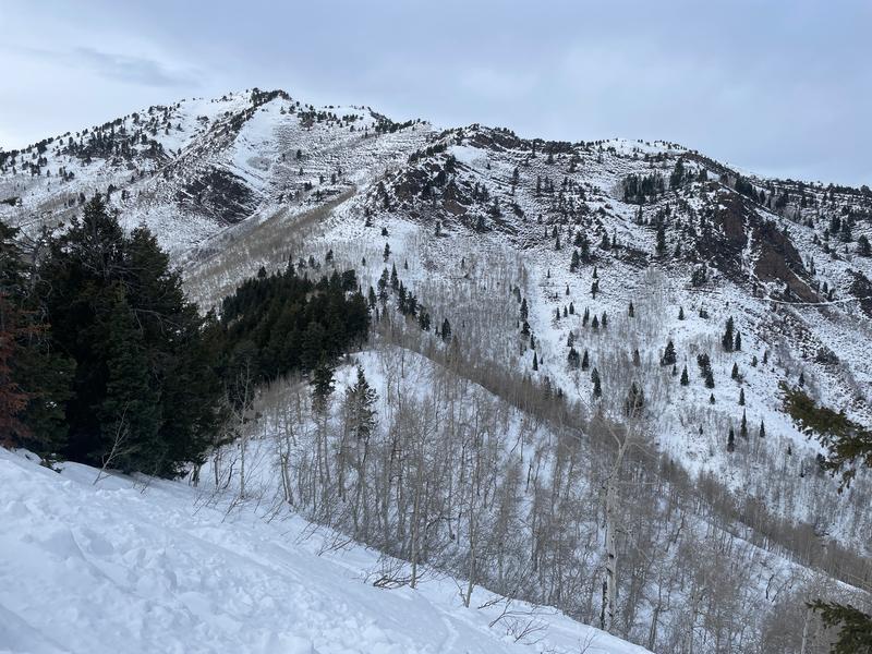
Looking east towards Butler Fork.
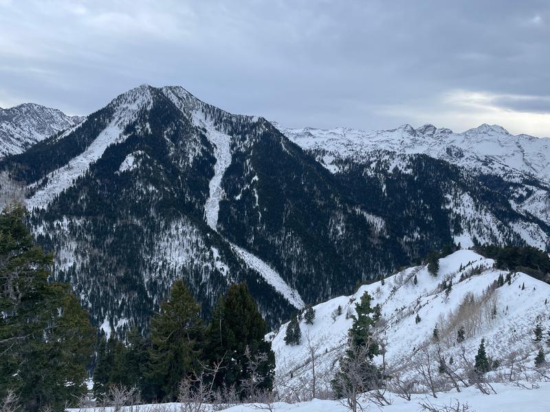
Looking south towards Kessler
Today's Observed Danger Rating
Low
Tomorrows Estimated Danger Rating
Low
Coordinates