Sign Up for the Utah Snow and Avalanche Workshop (USAW) on December 7th!

Observation: West Erickson Area

Observation Date
12/18/2023
Observer Name
Manship & Thackery
Region
Uintas » West Erickson Area
Location Name or Route
West Erickson Area
Weather
Sky
Overcast
Wind Direction
Southwest
Wind Speed
Light
Weather Comments
Graybird calm warm day.
Snow Characteristics
Snow Surface Conditions
Faceted Loose
Wind Crust
Melt-Freeze Crust
Snow Characteristics Comments
Solar aspects had a mix of MF crusts and facets. Steep solar was hard MF crust. Other aspects where soft facet pow. Upper elevation exposed terrain had a variety of sun and wind crusts.
Red Flags
Red Flags
Poor Snowpack Structure
Avalanche Problem #1
Problem
Persistent Weak Layer
Trend
Decreasing Danger
Problem #1 Comments
November PWL layers and the Dec 2nd weak layer are present but do not seem to have the slab communication to produce avalanches and red flags at this time.
Snow Profile
Aspect
Northwest
Elevation
10,400'
Slope Angle
28°
Comments
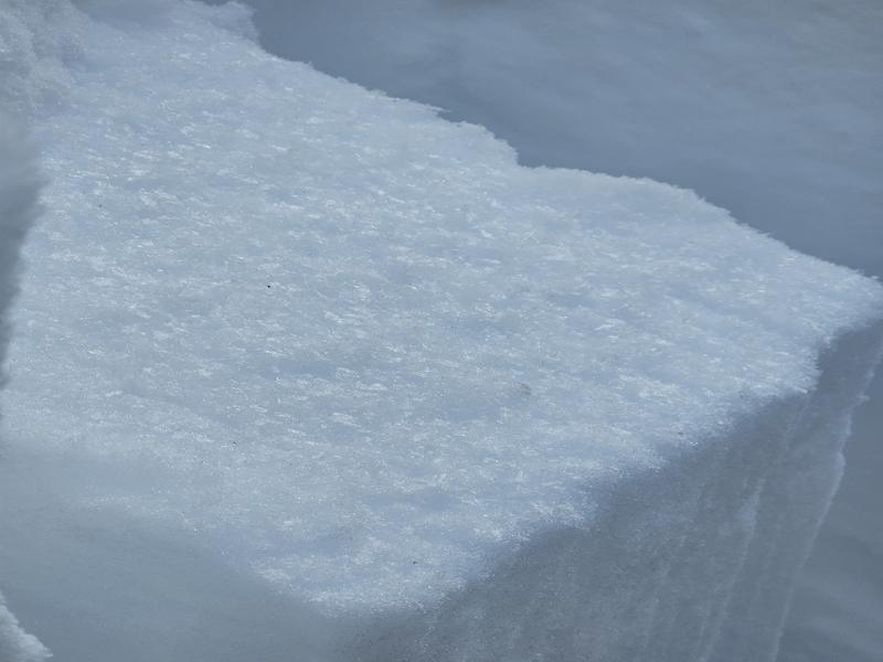
We noted a layer of buried SH about 17cm down. I am curious to the distribution of this layer.
We did not see an notable results on early December and November weak layers.
In this location and others that are over 80cm deep, the slab above the early December weak layer seems to be intact. In shallower areas this is not the case.
Good skiing can be found on low angle polar terrain. Snow is still very thing for snowmobiling with less than 2 skis on the ground.
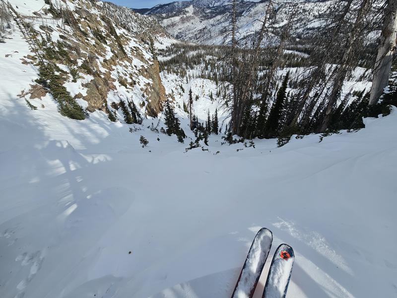
Photo 1: Layer of buried SH
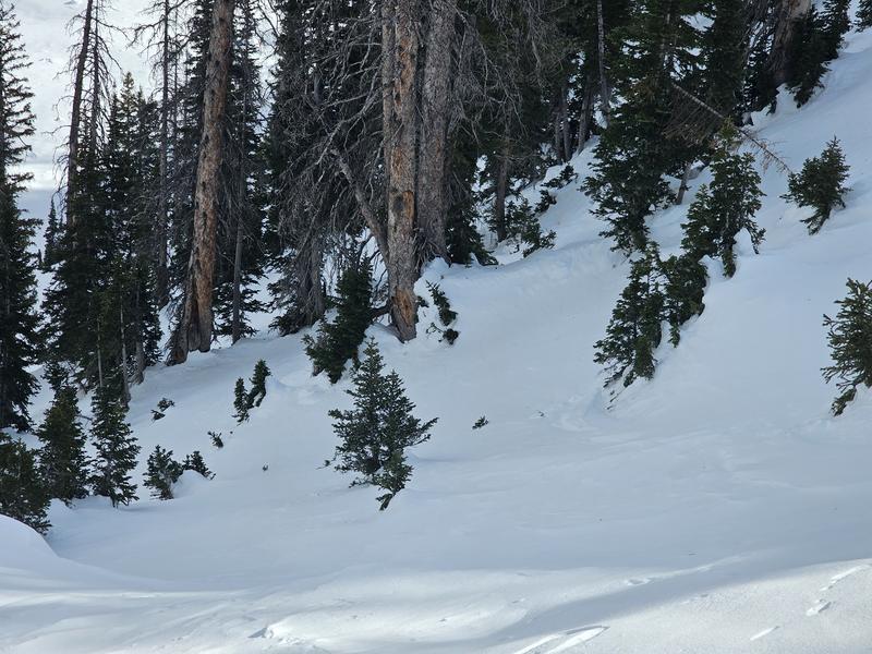
Photo 2: Evidence of old slide that ran during last loading event.
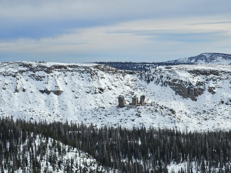
Photo 3: Further evidence.
Photo 4: West facing alpine coverage.
Today's Observed Danger Rating
Low
Tomorrows Estimated Danger Rating
None
Coordinates