


Forecast for the Logan Area Mountains

Issued by Toby Weed on
Monday morning, December 18, 2023
Monday morning, December 18, 2023
Generally stable snow conditions exist across the Logan Zone. Avalanches are unlikely and the danger is LOW in the backcountry.
Usual caution is recommended.

Low
Moderate
Considerable
High
Extreme
Learn how to read the forecast here
 Weather and Snow
The Tony Grove Snotel at 8400' reports 46 inches of total snow (113% of normal SWE) with overnight temperatures again in the mid-30s F. The new weather station on Paris Peak at 9500' in elevation reports 36° F and light winds blowing from the south. The inversion will persist through the workweek, with a weak system passing to the south, bringing clouds, cooling, and a few snowflakes to the mountains on Tuesday and Wednesday. Snow accumulation will be pretty light, not enough to change the avalanche conditions much.
Confidence is increasing, and it’s looking increasingly likely that we’ll get a decent storm over the weekend.
Clear nights and dry air are causing the surface snow and the snow just beneath to weaken. This makes for fast and loud riding conditions now, but this is a potentially poor setup for the future. Coverage is pretty good up high, but the snow is still deceptively shallow at mid-elevations.
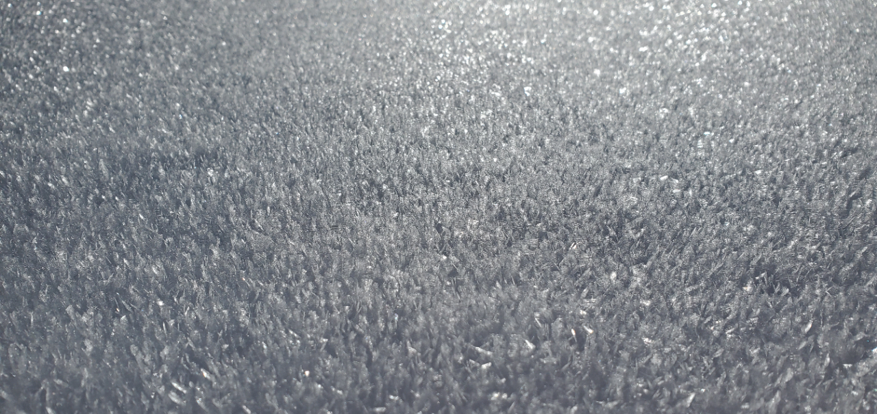
Surface hoar is plentiful right now. You’ll find this type of snow across the range in shaded, sheltered terrain, especially in sinks and meadows near canyon bottoms.
 Recent Avalanches
No avalanches were reported in the Logan Zone since a widespread natural cycle occurred on December 3 and 4.
- Local observations are available HERE.
- Visit our avalanche page to check out this season’s activity across Utah.

Avalanche Problem #1
Normal Caution
Type
Location

Likelihood
Size
Description
Even when the danger is LOW, always follow safe backcountry travel protocols when traveling on or under slopes steeper than about 30°:
- Be sure everyone in your party has working avalanche rescue equipment, including a transceiver, probe, and shovel. Practice with this equipment regularly, and include and instruct new partners.
- Cross avalanche paths and runout zones one person at a time, with the rest of the party watching from a safe place.
- Reevaluate and be willing to change your plans if you encounter apparent signs of instability, even if the forecast says the danger is LOW.
Low danger means avalanches are unlikely, not impossible. There are a few potential types of avalanches that you could encounter, especially in extreme mountain terrain.
- Up high and on slopes facing west, north, and east, dangerous avalanches failing on a persistent weak layer remain possible in isolated outlying terrain where previously wind-drifted snow overlies weak, sugary snow from November.
- Warmth and sun may cause the surface snow to be soft and saturated, and loose, wet avalanches are possible in some rocky or cliffy terrain.
- Very weak, sugary snow called near-surface facets and surface hoar is widespread. Loose avalanches entraining this weak surface snow are possible on very steep slopes. The biggest problem with this type of avalanche is being swept into terrain traps below, like trees, or off a cliff.
- Winds are fairly light currently, but drifting from stronger winds is a sure bet later in the week, and when drifts or wind slabs form on the weak surface snow, they are likely to be sensitive and easily triggered by people.
General Announcements
- Taking time to check your companion rescue gear and practice with your transceiver is essential. Watch a short video here.
- IMPORTANT: Read Mark's blog about electromagnetic interference of avalanche transceivers HERE.
- We will update this forecast by Wednesday morning at 7 AM.
This forecast is from the U.S.D.A. Forest Service, which is solely responsible for its content. This forecast describes general avalanche conditions, and local variations always occur.