Sign Up for the Utah Snow and Avalanche Workshop (USAW) on December 7th!

Observation: Wolf Creek

Observation Date
12/9/2023
Observer Name
Brackelsberg/Quilter
Region
Uintas » Wolf Creek
Location Name or Route
Wolf Cree Pass
Weather
Sky
Clear
Wind Speed
Calm
Weather Comments
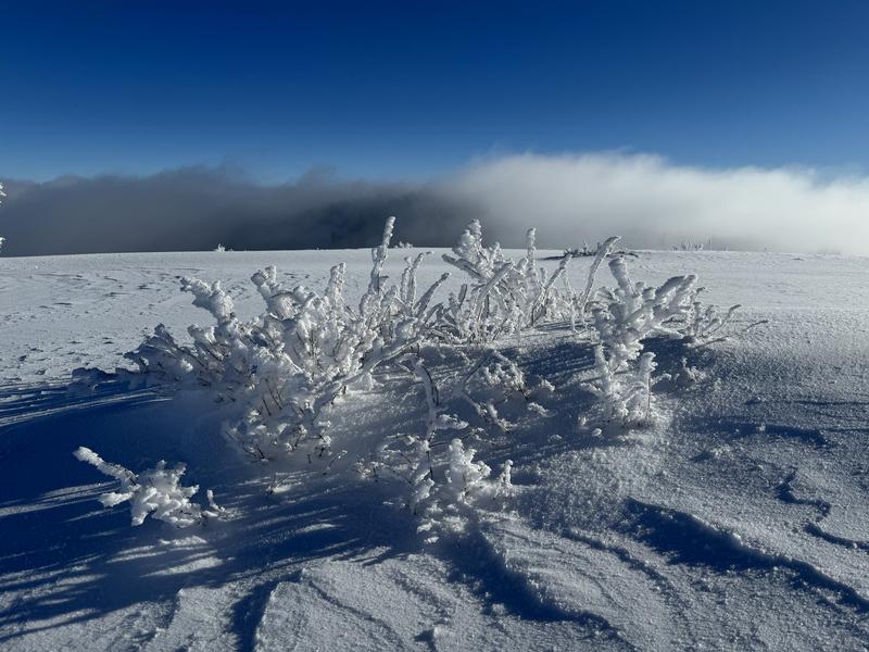
Cold morning with mid-elevation clouds. We were above the clouds at Wolf Creek Pass.
Snow Characteristics
New Snow Depth
5"
New Snow Density
Low
Snow Surface Conditions
Powder
Snow Characteristics Comments
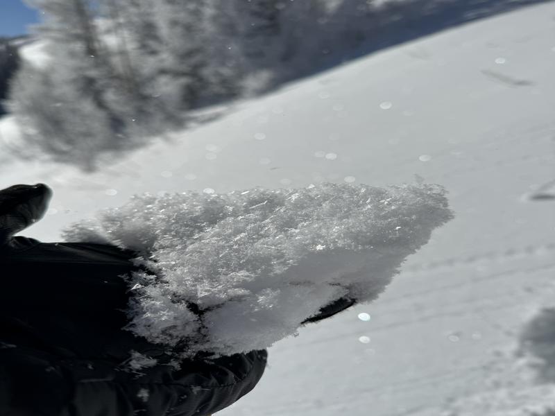
Signficant rime on all the trees and shrubs even on the wind exposed ridges (see photo). The trees were plastered.
We were surprised to find significant surface hoar had developed overnight
Red Flags
Red Flags
Collapsing
Poor Snowpack Structure
Red Flags Comments
We had numerous collapses during our travels. Several were thundering collapses. We had 2 collapses on the skin track on our second time on it. Numerous times we would break through supportable snow and sink almost to the ground. When transitioning, there was nothing to support you if you put weight on your free foot.
Avalanche Problem #1
Problem
Persistent Weak Layer
Trend
Same
Problem #1 Comments
Our extended column test failed near the ground with full propagation on 8 very soft taps from the wrist. This with the number of large collapses was indicative of just how weak the snow in the Uintas currently is.
Snow Profile
Aspect
Northeast
Elevation
9,400'
Slope Angle
20°
Today's Observed Danger Rating
Considerable
Tomorrows Estimated Danger Rating
Considerable
Coordinates