Observation Date
12/2/2023
Observer Name
Gagne
Region
Salt Lake » Big Cottonwood Canyon » Days Fork
Location Name or Route
Days Fork from Spruces
Comments
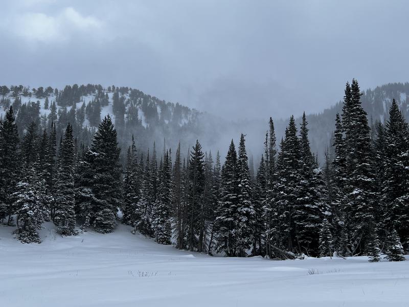
Overall I was pleased with the depth of snow coverage in Days Fork right out of the Spruces lot, with 30-45 cms at the trailhead. I only got as high as 9,500' but was finding close to a meter. Most of this is from snowfallFriday and overnight into Saturday.
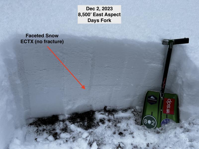
I dug several pits and results were ECTX (no fracture). One pit at 9,500' was ECTP27 (fracture and propagation) that failed at two interfaces:
- down 45 cms in faceted snow at the new/old snow interface;
- down 60 cms in faceted snow that fell in Oct/Nov.
The "storm slab" lacked cohesion and was soft, fist hardness.
But the poor structure is in place and we're only lacking a cohesive slab. With wind and heavy snow in the forecast, we should get our slab and I expect some avalanches will fail down in faceted snow near the ground.


When I was exiting at 2 pm, winds which had been confined to the ridgelines began to work their way down into drainage bottoms, so I expect sensitive wind drifts will be found at both the mid and upper elevations.

With a PWL on mid and upper-elevation aspects facing west-north-east and plenty of low-density snow everywhere, the current snowpack has plenty of weaknesses and I expect the heavy, dense snow and strong winds will create dangerous avalanche conditions overnight and into Sunday.
Today's Observed Danger Rating
Considerable
Tomorrows Estimated Danger Rating
Considerable
Coordinates


