UDOT PLANNED AVALANCHE CLOSURES!!

Observation: Hayden

Observation Date
4/22/2023
Observer Name
Staples/Raskin/Deutschlander
Region
Uintas » Hayden
Location Name or Route
Hayden Peak area
Weather
Weather Comments
Mostly cloudy with the sun peaking through occasionally. Just enough to warm the snow on south facing and create a crust by the end of the day. Generally stayed cold and flurries on/off for most of the day with no accumulation. Winds were as calm as they an get.
Snow Characteristics
Snow Characteristics Comments
4-6 inches from Friday improved conditions a lot but you could still feel the old, very hard surface underneath. Once we got north of Bald Mountain Pass, there was more snow. In the Hayden area, the total snow since last Tueday was 10-12 inches with a denser layer (aka cushion) on top of the old, hard surface. It helped with ski quality.
Red Flags
Red Flags
Wind Loading
Avalanche Problem #1
Problem
Wind Drifted Snow
Trend
Decreasing Danger
Problem #1 Comments
The main red flag we were watching for was wind loading from Friday evening's w/nw winds. Our main strategy was to aim for slopes that had either been untouched by winds or had been scoured.
We could get the new snow to easily crack above a skin track when we stepped on it, but the cracks would not propagate or shoot beyond our skis. I suspect fresh wind drifts would have reacted differently but we didn't test them. They should be less sensitive on Sunday.
Avalanche Problem #2
Problem
Wet Snow
Trend
Increasing Danger
Problem #2 Comments
The new snow will get wet quickly when the sun comes out - likely Sunday - and make shallow, loose wet avalanches.
Comments
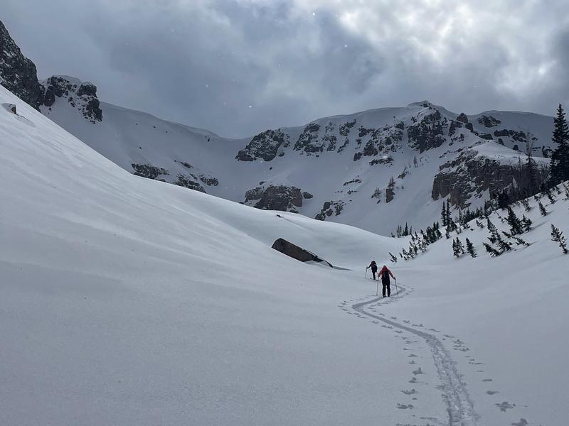
Photo showing new snow depth not far from Soapstone and on/off clouds and sun near Hayden.
Today's Observed Danger Rating
Considerable
Tomorrows Estimated Danger Rating
Moderate
Coordinates