Observation Date
4/7/2023
Observer Name
Staples & Hoyt
Region
Uintas » Gardner Fork
Location Name or Route
Gardner Basin
Comments
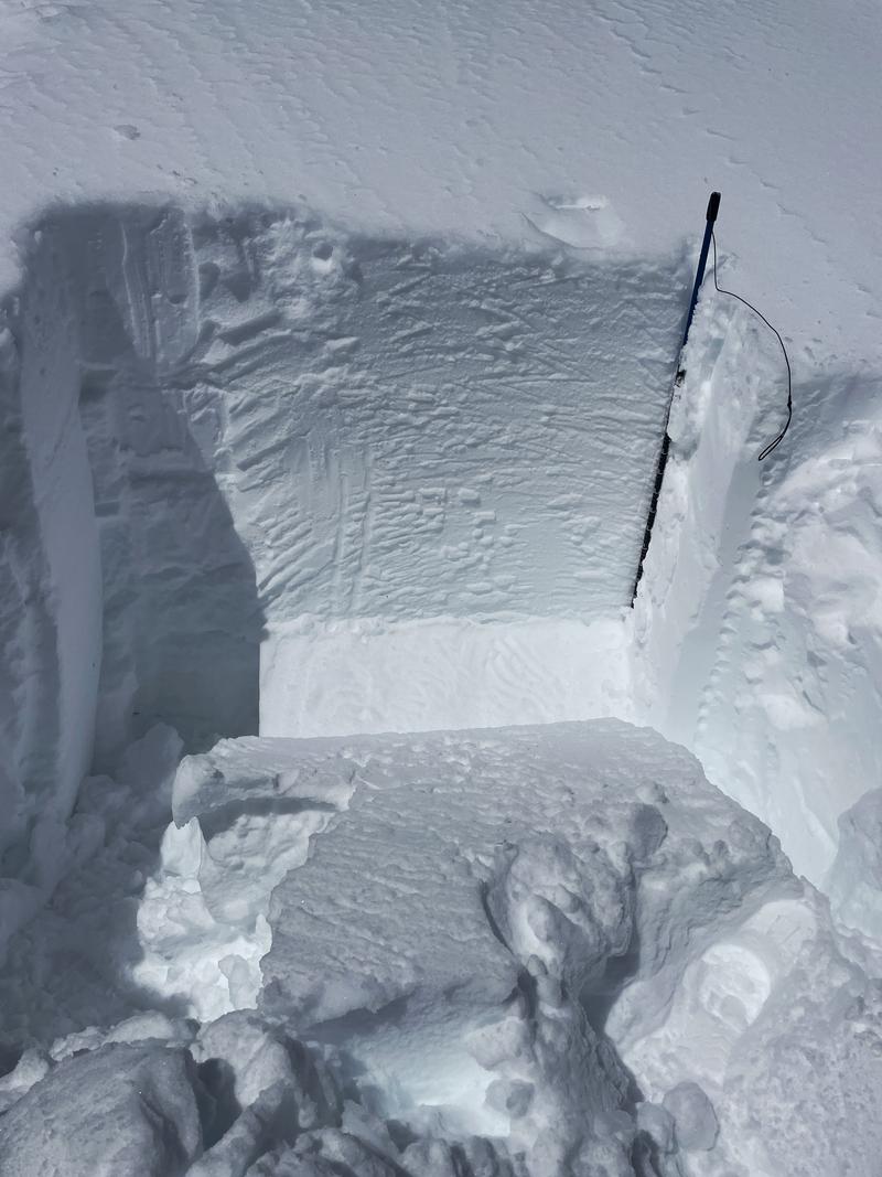
We found no instabiliites in north facing, non wind loaded terrain, and we confidently rode in avalanche terrain. On a SE facing slope at 10,400 feet above the middle fork of the Weber River, I did find an ice crust (maybe from mid-March) that had a thin layer of rouding facets on top. This layer produced an ECTP30. Doubtful it could produce a human triggered avalanche. Maybe we could see a few wet slab avalanches at some point in the Uintas, but I think they would be isolated and riding conditions would be horrible at that time.
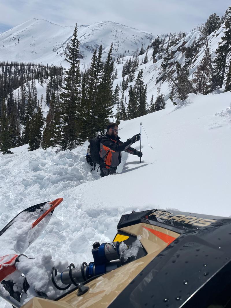
First photo of the SE facing pit.
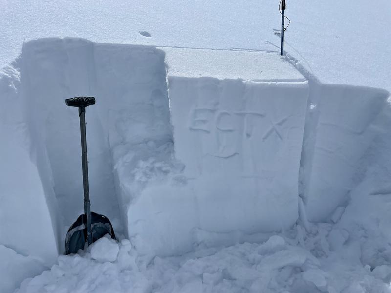
Second photo of one pit on a north facing slope where we found consistent good stability which matched the Low danger on those aspects today.
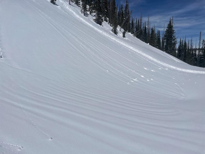
Third photo of runnels developing in the new snow (drainage channels) even at high elevations.
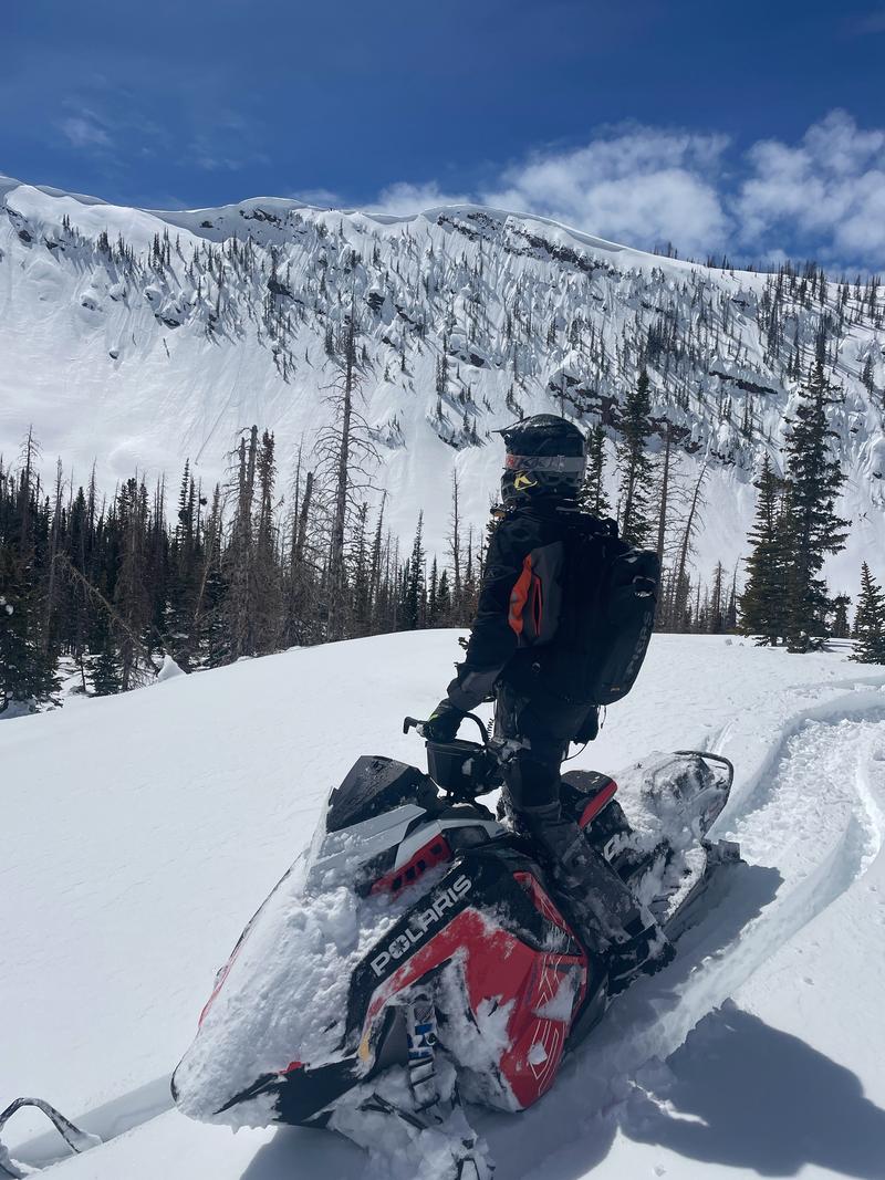
Coverage of course is unreal. Snow is pasted onto all the rocks. All the rocky faces should soak up a lot of heat this weekend and shed their snow. The snowpack around rock outcrops should get quite wet and produce loose wet avalanches.
Cornices will also start falling on their own. Don't hang out under them.

Today's Observed Danger Rating
Moderate
Tomorrows Estimated Danger Rating
Moderate
Coordinates


