Observation Date
4/6/2023
Observer Name
Hardesty and Wilson
Region
Salt Lake » Mill Creek Canyon » Porter Fork » Raymond Glade
Location Name or Route
Lower Raymond Glades
Comments
Seems the main action now is on the solar aspects.
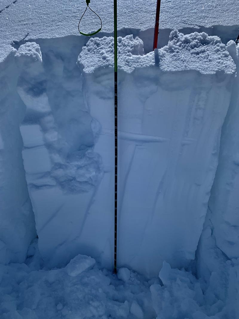
Found 110cm above last week's dust layer on a NW aspect at 8500'. Tests yielded, really, nothing of interest. ECTN down about 40cm within Tuesday night's storm snow.

Forecast concerns for the next several days include
- Wet avalanches
- Large destructive glide avalanches not just in the usual terrain of Stairs, Broads and Mill B South but also areas like Raymond and Porter Fork Slabs and Room of Doom in Mineral.
- Cornice failure triggering large "new snow" avalanches below.
- Roof-a-lanches.
Today's Observed Danger Rating
None
Tomorrows Estimated Danger Rating
None
Coordinates


