Observation Date
3/31/2023
Observer Name
Mike J
Region
Uintas » Lower Weber Drainage
Location Name or Route
Lower Weber Canyon
Comments
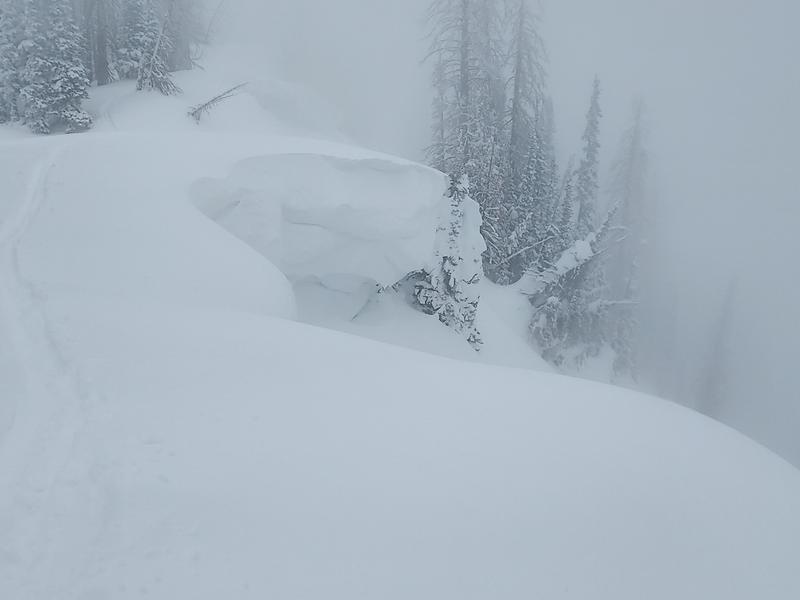
I got up over 10k today and found 12” of light new snow. The steep north chutes naturally sluffed mid-storm however there was plenty of new snow for me to re-send down a 20 foot wide 6 inch soft slab with a ski cut just below the entrance in 50 degree terrain. Cornices were sensitive, however, the small soft slabs that released with cornice kicks failing within a density inversion mid-new snow pack needed a roll over to continue and even then they were short lived. There was minimal cohesion in the light snow. The new snow was very manageable. My snow pack depth measurements on the north half of the compass were all around 4 meters. East facing slopes typically plagued with hard melt-freeze layers this time of year produced excellent bottomless skiing face shots and all. Goggles required. In exposed terrain I found some mid-winter cohesive and hollow sounding hard slabs forming, a clear sign to stay away. I wasn’t able to get any good pics because the visibility was very poor today. Here’s a pic a huge cornice encroaching on a tree that in an average year is down slope.

Today's Observed Danger Rating
Considerable
Tomorrows Estimated Danger Rating
Moderate


