Observation Date
3/27/2023
Observer Name
Mike J
Region
Uintas » Beaver Creek
Location Name or Route
Beaver Creek Drainage
Comments
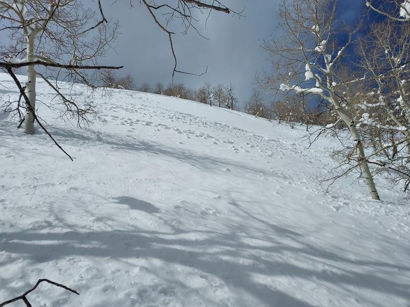
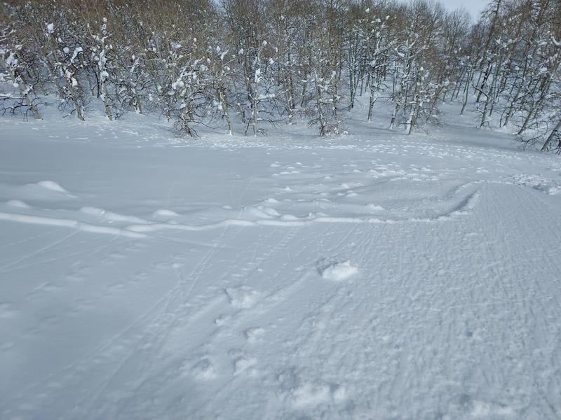
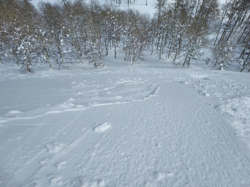
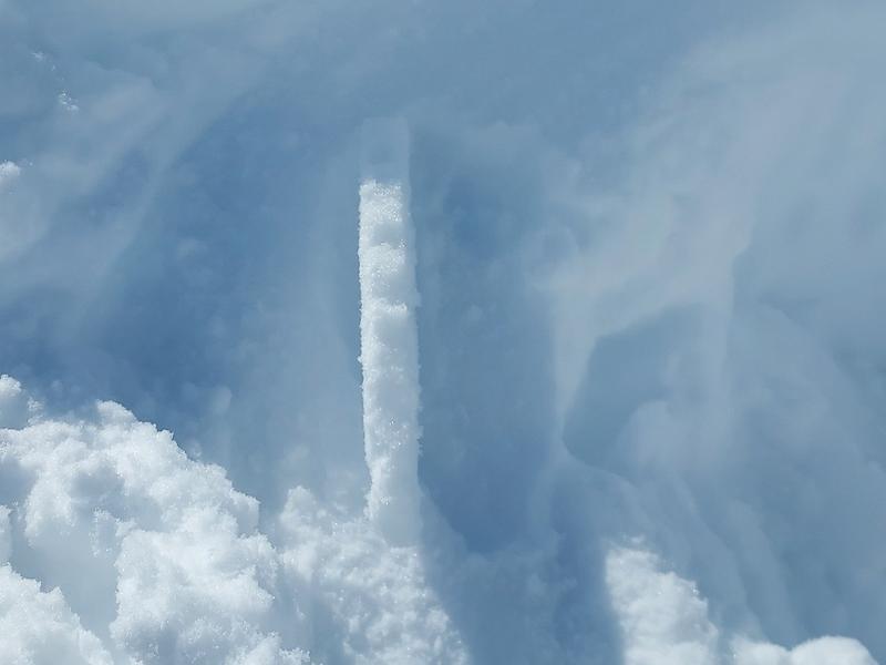
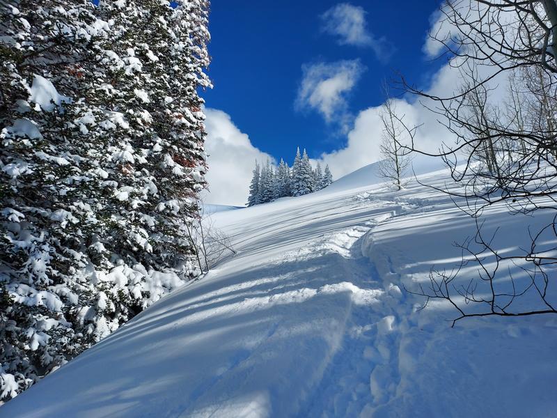
I got out this afternoon to find sunny skies and dry snow. I only made it up to 9K, however there was 8 inches of new since I was out Saturday after the big upside down dump Friday night. I discovered this 150 ft wide wet skin that failed Sunday. It appears to have run pretty quickly through the trees evident by the snow at the base of the aspens even visible near the end of the pic. A crust developed today and re-froze early afternoon as the sun went behind some clouds. The north side is mostly supportive with light powder on top of the heavy snow from Friday night. The last pic is of a huge wind load whale that formed from strong SE winds which I’ve not seen form before. No cracking or collapsing today.

Today's Observed Danger Rating
Moderate
Tomorrows Estimated Danger Rating
Moderate


