Observation Date
3/26/2023
Observer Name
EmYen
Region
Salt Lake » Little Cottonwood Canyon » Grizzly Gulch » Michigan City
Location Name or Route
Michigan City
Comments
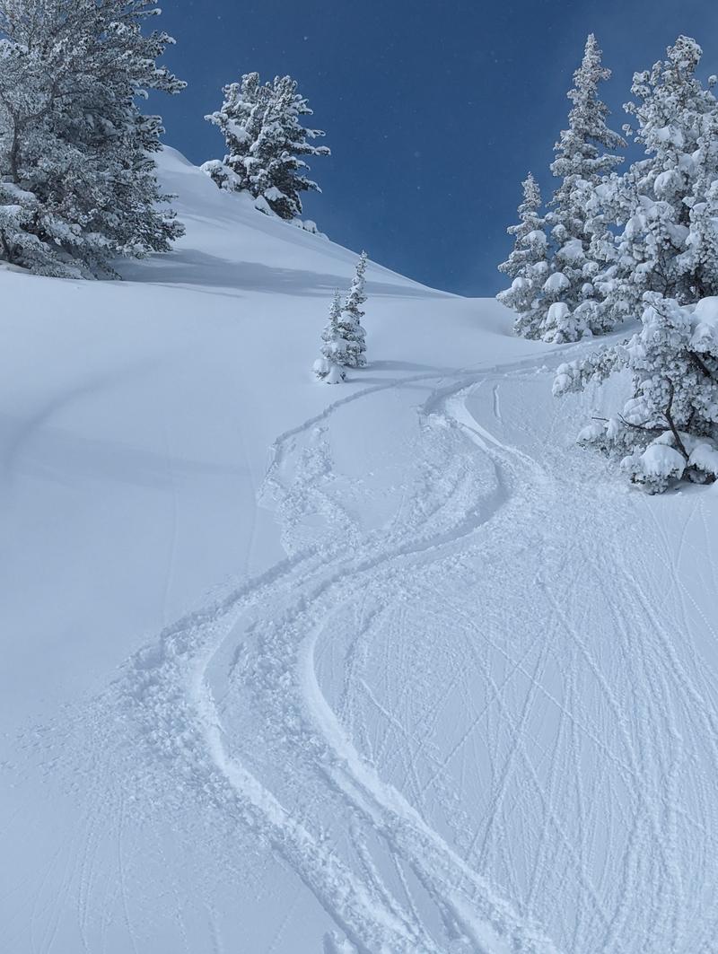
My partner and I noticed we pulled what we think was a storm slab as we were leaving Michigan City. It was probably 4:30pm ish, and the sun had just started poking out after the big storm. It was in a wind sheltered area and there didn't appear to be any windloading on this specific section of terrain. We didn't feel anything crack/collapse move as we were skiing, we only noticed the cracking when we stopped skiing. It was about 5-7 inches deep, and was on the steeper section of a rollover. It wasn't big enough or steep enough for anything to really get moving, but was a very good reality check on a day that provoked a lot of powder fever.

Today's Observed Danger Rating
Considerable
Tomorrows Estimated Danger Rating
Moderate
Coordinates


