Observation Date
3/1/2023
Observer Name
Champion/Collett
Region
Salt Lake » Mill Creek Canyon » Yellow Jacket
Location Name or Route
Yellow Jacket Trees/Bowman Fork
Comments
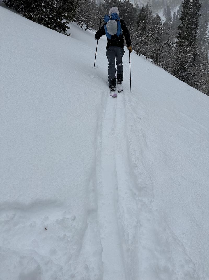
No obvious red flags while traveling up Bowman Fork, over White Fir Pass, and up to the Yellow Jacket Trees. Snowfall totals seemed to be significantly lower in Millcreek than in the upper Cottonwoods, which mirrors what other observers noted yesterday. 2-4" of new snow overnight, with an additional 1-2" of new snowfall throughout the tour. No obvious signs of instability within the new snow, and the new snow over the past few days seemed to bond well to the old snow surface, which was a variety of wind board, sun,crusts, and soft cold snow in the trees. While breaking trail there was no crack and or whumfing.
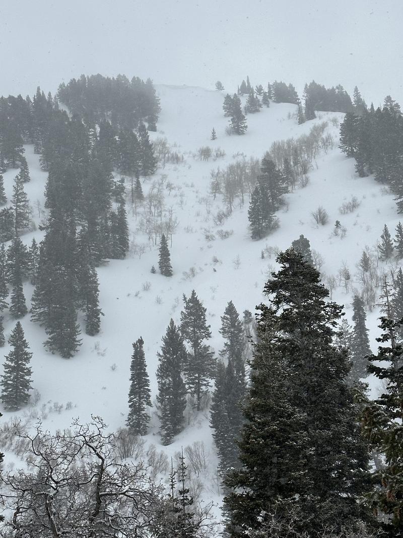
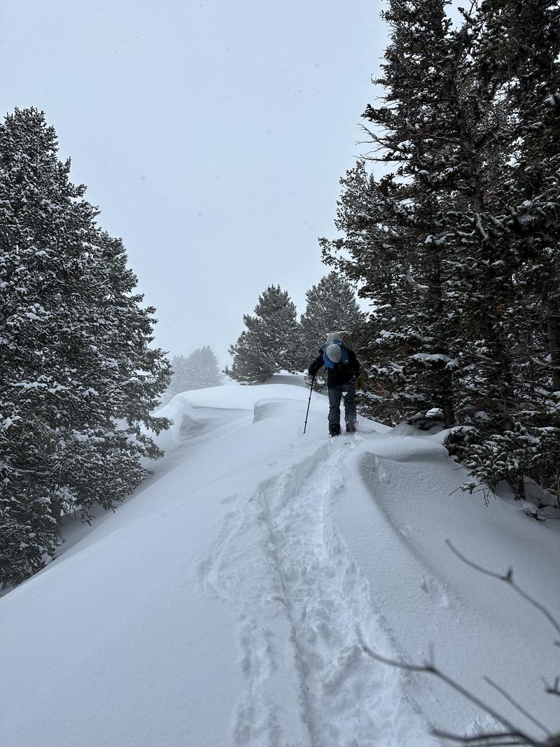
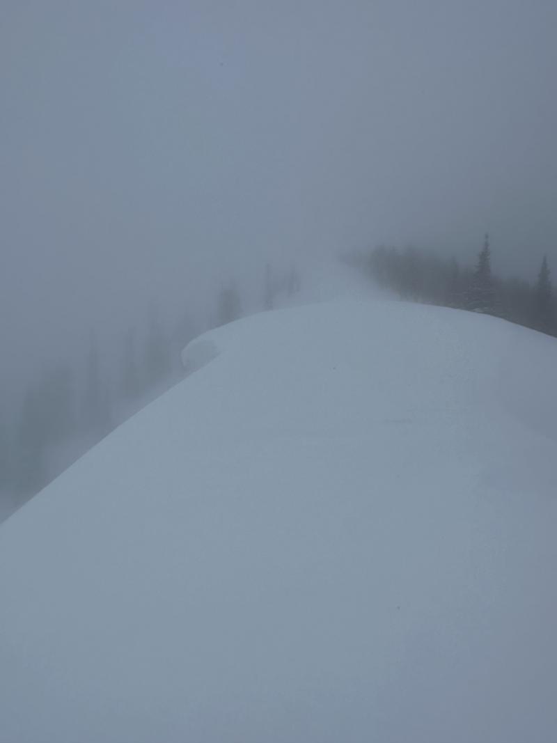
The primary concern today was wind-drifted snow. Ridgelines had cornices on both signs, suggesting previously high winds but no sign of transport occurring throughout the tour. The winds remained calm throughout the entire tour. While poking into some steeper NW shots there was a bit of wind effect directly below ridgelines but as soon as you got about 100' below the ridgelines the winds made very little impact on the snow surface. Again, even in the wind-drifted snow, we were unable to get any cracking, collapsing, or movement with the additional weight of cornices. While visibility was low, we did note what looked like one small natural pocket of wind-drifted snow below a corniced ridgeline. No other recent activity could be seen.
Last week, I traveled in a similar elevation band and aspect within Millcreek Canyon and noted both natural and human-triggered activity within the wind zone. Since then, the sensitivity seems to have decreased within the same type of terrain.
Photo 1. Small wind drift below a corncied ridgeline along a NE aspect around 8500'
Photo 2. Overnight snowfall totals
Photo 3 and 4. Corniced ridgelines


Today's Observed Danger Rating
Moderate
Tomorrows Estimated Danger Rating
None
Coordinates


