Sign Up for the Utah Snow and Avalanche Workshop (USAW) on December 7th!

Observation: Little Cottonwood Canyon

Observation Date
1/15/2023
Observer Name
Kelly
Region
Salt Lake » Little Cottonwood Canyon
Location Name or Route
Upper Little Cottonwood Canyon
Weather
Sky
Overcast
Precipitation
Moderate Snowfall
Wind Direction
West
Wind Speed
Moderate
Weather Comments
Snowfall was 1-2" an hour throughout tour. Winds were moderate at the 9000' ridgetops and gusting into the strong range above 10,200'
Snow Characteristics
New Snow Depth
14"
New Snow Density
Low
Snow Surface Conditions
Powder
Snow Characteristics Comments
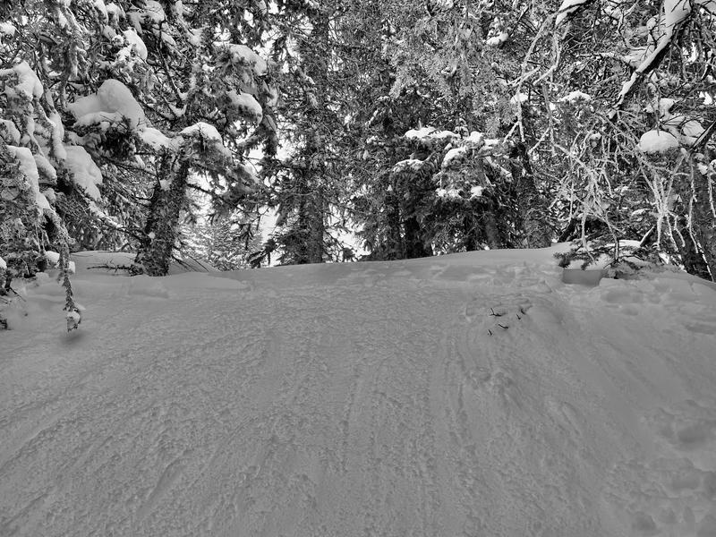
12-16" of new snow. There was a density change within the new snow and this was the layer that new snow avalanches were running on. Slopes above 30 degrees were avalanching naturally with a hint of wind. Human triggered avalanches on this new snow density change were very easy to initiate.
Red Flags
Red Flags
Recent Avalanches
Heavy Snowfall
Wind Loading
Cracking
Collapsing
Red Flags Comments
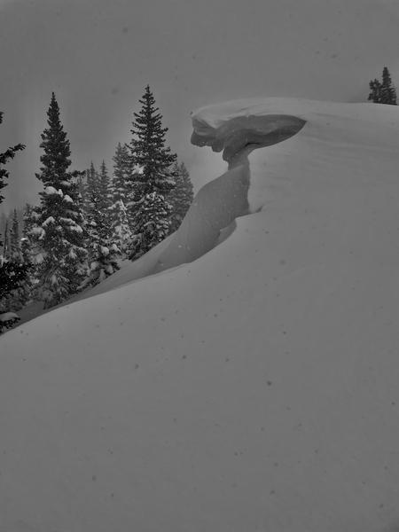
Storm day- I saw lots of red flags and stuck to ridge travel and slopes under 30 degrees. Even with that plan I was able to initiate new snow avalanches running on a density change. Any slope that took a hint of wind had natural avalanche activity. The question wasn't so much if a slope was going to avalanche-but where it would take you if you were involved. One loud collapse on the ridgeline at 10,400' on a northeast facing slope where the entire cornice audibly cracked and collapsed and was not steep enough to slide.
Avalanche Problem #1
Problem
New Snow
Trend
Same
Problem #1 Comments
This north facing slope at 9600' was steep enough to slump-but not steep enough to slide. Further up the ridge any slope over 30 degrees was easy to trigger or had avalanched naturally.
Snow Profile
Aspect
Northeast
Elevation
9,500'
Slope Angle
29°
Comments
This layer 45cm from the surface was the density change where most of the avalanches were being triggered.
Photo 1-Cornice formation north facing slope 10,200'
Photo 2- Skier triggered avalanche 50' wide ran 100' to flats 12" deep northwest facing 9800'
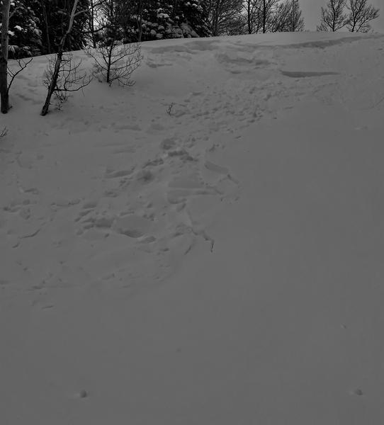
Photo 3-Avalanche 40' wide ran 50' to flats 14-16" deep west facing 9100' (unknown trigger)
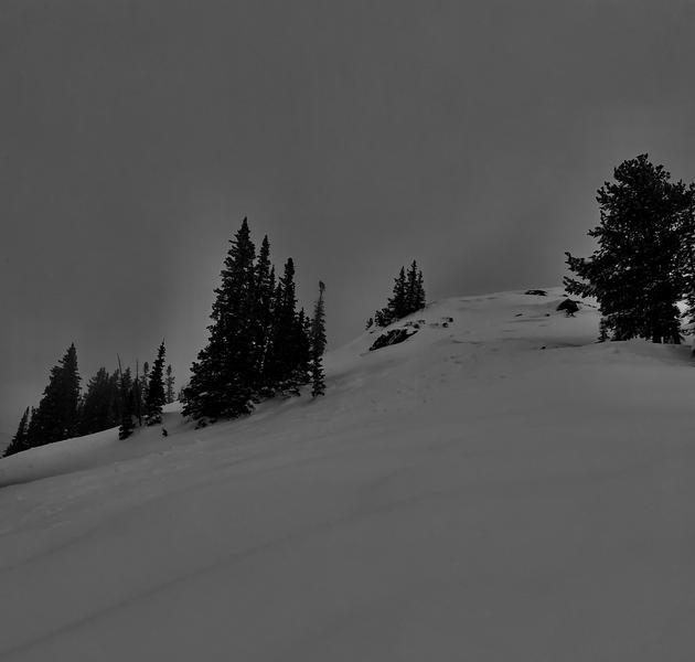
Photo 4- North facing avalanche 9200' above traditional skin track into Grizzly (unknown trigger)
Today's Observed Danger Rating
Considerable
Tomorrows Estimated Danger Rating
Considerable
Coordinates