Observation Date
1/12/2023
Observer Name
Staples & Staples
Region
Salt Lake » Parleys Canyon » Mt Aire
Location Name or Route
Mt Aire
Comments
Dug in two places. It's becoming a lot of work digging to the November faceted layer which says something.
Two locations
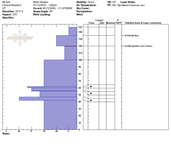
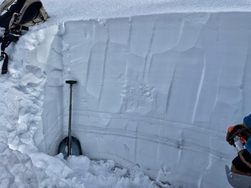
- West facing @7500 ft, 147 cm of snow, November facets were 1 finger hardness (pit profile and photo below)
- Northwest facing @8000 ft, 165 cm of snow, November facets were 4 finger hardness and damp. Technically it was an ECTX meaning that they didn't break after 30 taps...so I kept hitting it and it finally broke at 35 taps (those extra 5 were really hard).
The challenging question is "Can we stop considering the facets that formed in mid-November?". In nearly all places I've been digging, the answer is yes. However, the massive loading of new snow and wind blown snow created avalanches that give me pause.
The key thing to understand is that the only way to get very large avalanches is to have a somewhat strong snowpack. When the snowpack is weak, it produces many avalanches before they get too big. However, everything has a breaking point. The november facets gained a lot of strength and were able to hold huge amounts of snow that has fallen since about Dec 27th. The breaking point was finally reached this weekend.


Moderate danger (low end of that rating) where we were today.
Today's Observed Danger Rating
Moderate
Tomorrows Estimated Danger Rating
Moderate
Coordinates


