Observer Name
Bill Nalli
Observation Date
Thursday, January 5, 2023
Avalanche Date
Thursday, January 5, 2023
Region
Uintas » Chalk Creek
Location Name or Route
Chalk Creek - Mill Fork
Elevation
10,300'
Aspect
Northeast
Trigger
Natural
Avalanche Type
Hard Slab
Avalanche Problem
Persistent Weak Layer
Weak Layer
Facets
Depth
6'
Width
500'
Vertical
Unknown
Comments
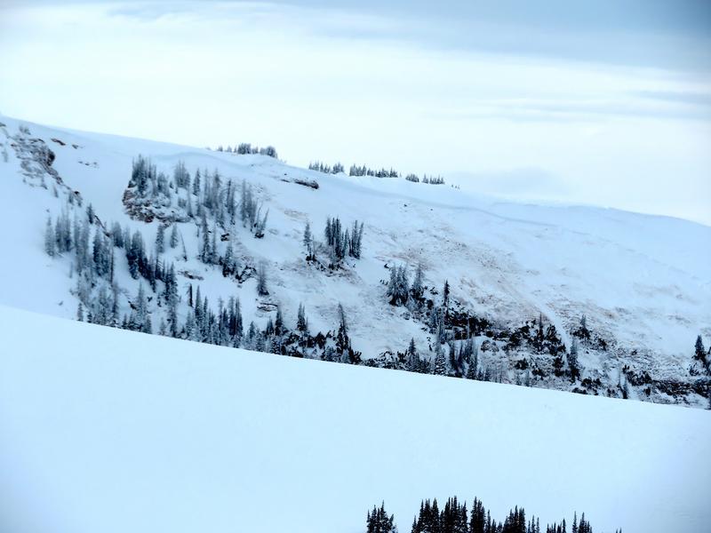
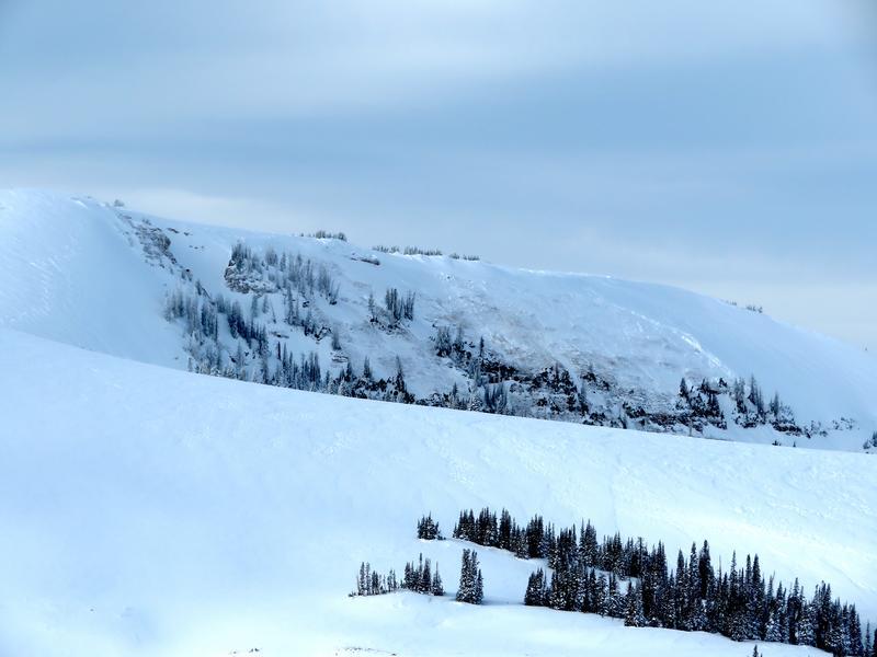
This HS-N-R4-D3-O failed sometime early on Thursday morning 1/5. We measured approx. 500' wide on a map and estimate from afar that the crown ranged from 2'-6' deep. It's possible that a smaller D2 new wind slab released near the ridgeline and triggered this large full-depth avalanche.
Southwest wind picked up overnight Wed 1/4 and increased into the mid 30's at the most exposed ridgelines by early morning. It only took about 5-6 hours of this wind to add a new load big enough to trigger this slide. A significant sign that the lingering PWL problem is still alive and well, even if it's gotten more stubborn and difficult to trigger.
A couple of trends were noting are that most recent big avalanches are failing in the alpine steepest terrain (39 deg and above) as well as very low on the slope along steep gully walls.


Comments
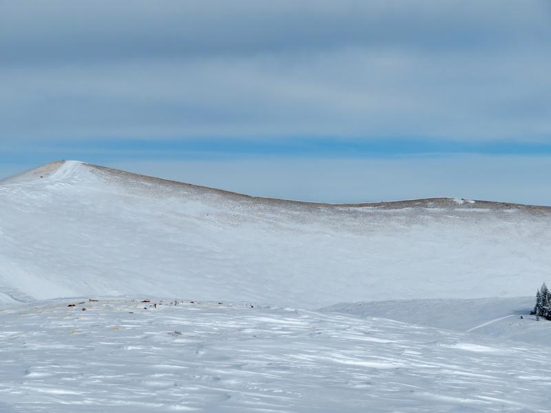
Some south through west-facing exposed ridges have been stripped back to the ground once again. As of this report, not all of them look this bad as some further to the east still hold significant snow. Fingers crossed that this damage stays minimized. Skiing quality the last few days has been off the charts excellent. The recent wind has put a damper on this however and today we had to retreat back into the mid elevation sheltered terrain to find soft Pow.

Coordinates


