Sign Up for the Utah Snow and Avalanche Workshop (USAW) on December 7th!

Observation: Rodeo Ridge

Observation Date
1/3/2023
Observer Name
brian smith
Region
Ogden » Ben Lomond » Rodeo Ridge
Location Name or Route
rodeo ridge area
Weather
Sky
Broken
Precipitation
Light Snowfall
Wind Direction
Southwest
Wind Speed
Light
Weather Comments
light snowfall and light wind on the ridges.
Snow Characteristics
New Snow Depth
3"
New Snow Density
Low
Snow Surface Conditions
Powder
Snow Characteristics Comments
Nice turning on low angle slopes with low density snow.
Red Flags
Red Flags
Recent Avalanches
Wind Loading
Red Flags Comments
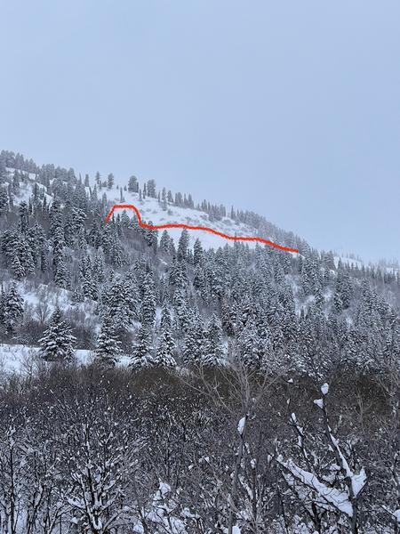
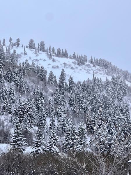
Large avalanche off of the ridge NE of peak 7990 as seen in photos. I saw it from a distance and it appears to be from the last day or two and possibly into the PWL. This is at about 7600 ft and appears to be 300-400 ft. wide. Today, to cracking or collapsing.
Avalanche Problem #1
Problem
Persistent Weak Layer
Problem #1 Comments
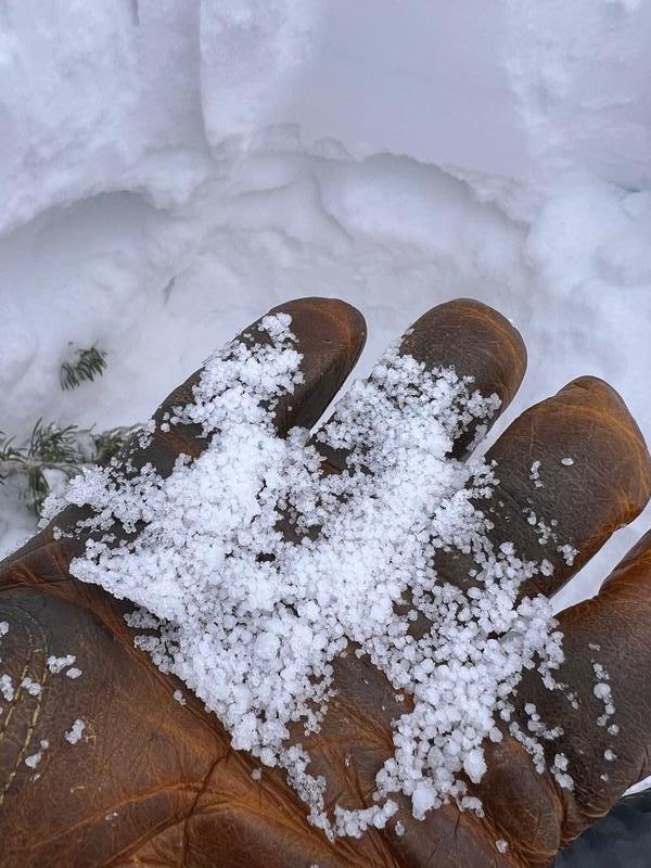
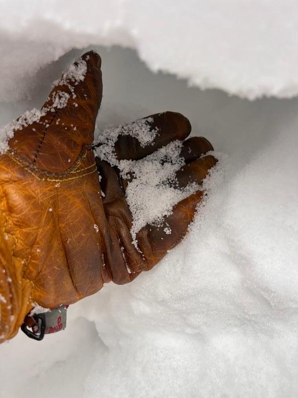
At 7600 ft the PWL is now at 100cm down. Not sure how to assess the stability of this layer now that it is buried so deep? However it is still there and concerning. In the North Ogden divide area the PWL is only down 60 cm at most at the same elevation.
Avalanche Problem #2
Problem
Wind Drifted Snow
Problem #2 Comments
Soft sensitive wind slab on the exposed ridges.
Photos of avalanche.
Photos of PWL at 100cm down at 7600ft.
Today's Observed Danger Rating
None
Tomorrows Estimated Danger Rating
None
Coordinates