Observation Date
12/28/2022
Observer Name
Staples
Region
Uintas » Soapstone
Location Name or Route
Soapstone and Iron Mine Road
Comments
Went to look at the snow at the low elevation, below treeline level on north and south aspects. Overall the snowpack was thin in these areas before this snowfall. It had the november facets but overall the snowpack became generally weaker where it was shallow.
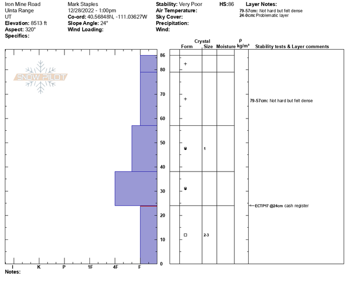
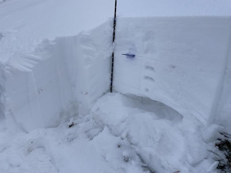
Profile, photo, and video from 8,500 feet, north facing. Also a photo of a small, naturally triggered avalanche along the Iron Mtn Road. It was small because the slope was small. Generally when the road banks are making avalanches, that's a bad sign.

Video
I went to a south facing slope which had very weak facets, poor structure, and got poor results in my first pit (first photo below) ECTP20
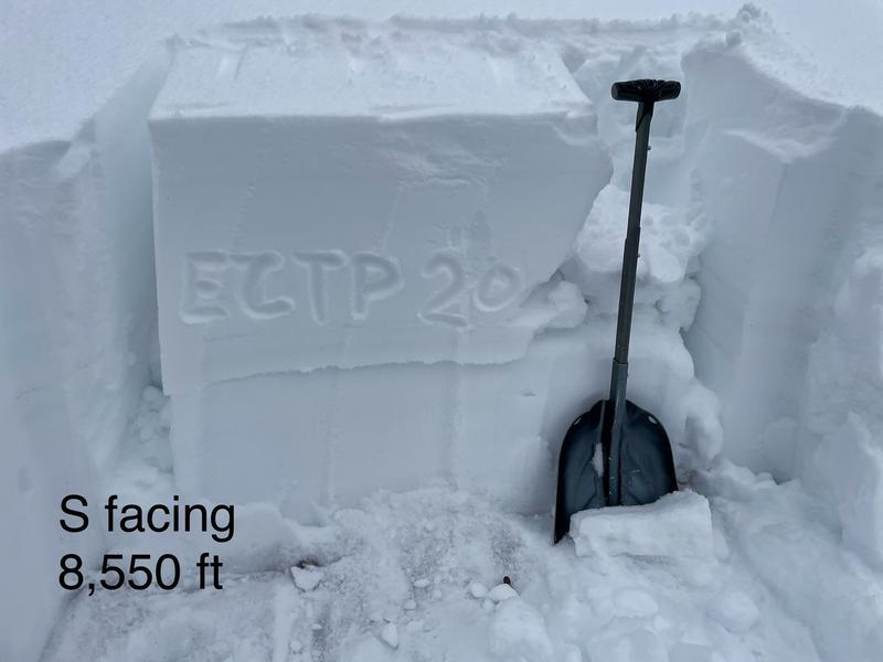
Then went to another south facing slope nearby. Got similar results. More importantly the entire slope collapsed when I put my backpack on the snow.
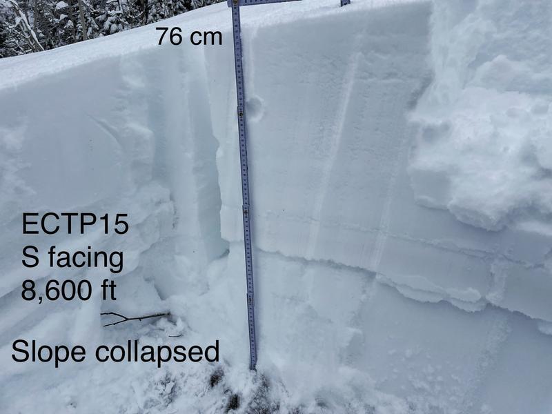
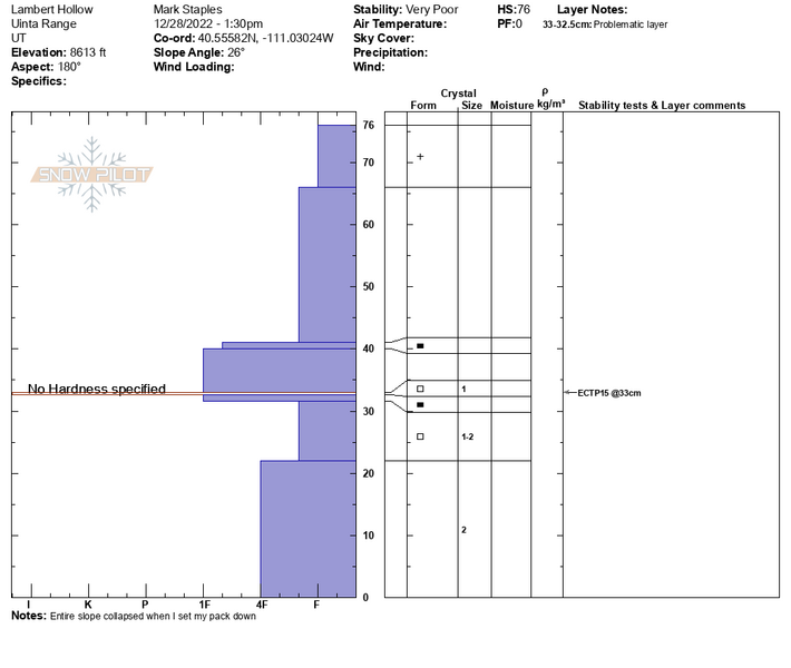
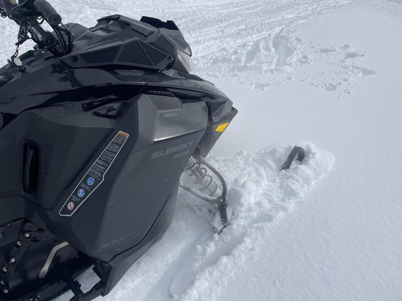
Photo of snow depth in the parking lot - yeah!
Today's Observed Danger Rating
Considerable
Tomorrows Estimated Danger Rating
Considerable
Coordinates


