Observation Date
12/28/2022
Observer Name
Hardesty, Bombard, Covington
Region
Provo » Provo Canyon » North Fork Provo R. » Alpine Loop
Location Name or Route
Back of Bobs
Comments
With strong SW winds, and 2.50"+ of SWE in less than 24 hours, I expected to see more avalanche activity in the Provo mountains. Perhaps with clearing tomorrow, that will be borne out. We noted one new size 2 new snow natural avalanche high in Primrose when we had a few seconds of clearing.
Otherwise no cracking or collapsing noted either.
Tuesday rain initially up to 7500'...then lowered with cooler air. Snowpack at and below this elevation now isothermal...and test results partially reflect this.
See below the difference a week makes in the top and bottom videos. And LAST WEEK'S photo of the LOOSE facets along the ECTPV failure plane, below.

Still, in the lowest elevation bands, poor structure still exists whether it's isothermal or not. If we had a few days of very cold temps, this structure would dramatically gain stability....so we'll see.
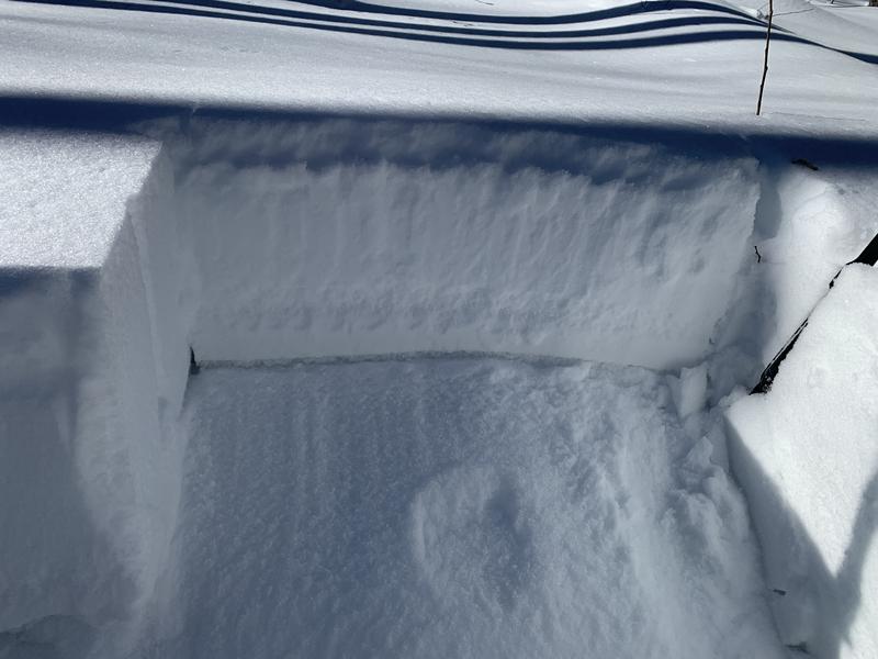
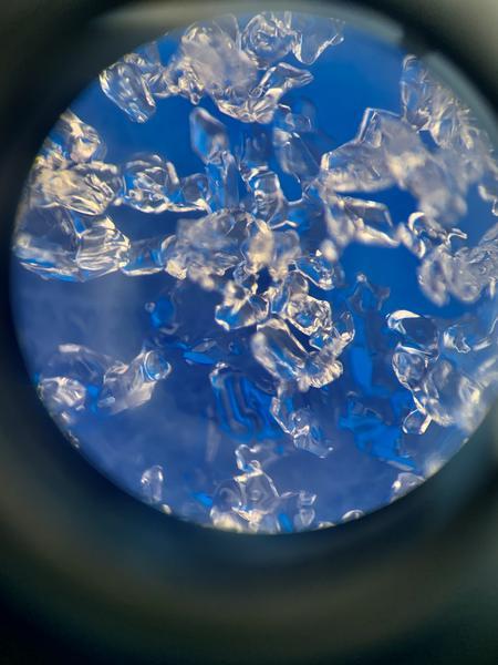
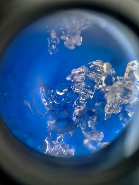
Above, the rain/snow line, the Nov weak layer facets are slowly gaining strength (4F-4F+ hand hardness) and unimpressive scores reflect this slow stabilization. Some facets are rounding and sintering, some are not. Photos below.
Overall, I picture that areas of the Provo mountains experienced HIGH danger overnight Tuesday into Wednesday, with the danger at CONSIDERABLE today.


Video
Video
Today's Observed Danger Rating
Considerable
Tomorrows Estimated Danger Rating
None
Coordinates


