Sign Up for the Utah Snow and Avalanche Workshop (USAW) on December 7th!

Observation: Butler Basin

Observation Date
12/10/2022
Observer Name
Bombard, Hardesty
Region
Salt Lake » Big Cottonwood Canyon » Butler Fork » Butler Basin
Location Name or Route
Butler Basin
Red Flags
Red Flags
Recent Avalanches
Wind Loading
Cracking
Collapsing
Poor Snowpack Structure
Red Flags Comments
Collapsing noted in the meadow just above the steep climb out of the parking lot. More isolated c/c noted along our travels in Butler Basin. Only avalanche noted was a small natural wind slab lee of the upper elevation ridgeline.
Avalanche Problem #1
Problem
Persistent Weak Layer
Trend
Increasing Danger
Problem #1 Comments
ECTP 21, 7 on NNE aspect at 8700. Failed 47cm down, on facets from the Nov. dry spell. The variable results of our ECTs echo the cautionary advice in recent avalanches advisories: The snowpack is dangerously touchy and avalanches could be triggered on the 7th run down a given slope, the 14th or the 21st.
Avalanche Problem #2
Problem
Wind Drifted Snow
Trend
Increasing Danger
Problem #2 Comments
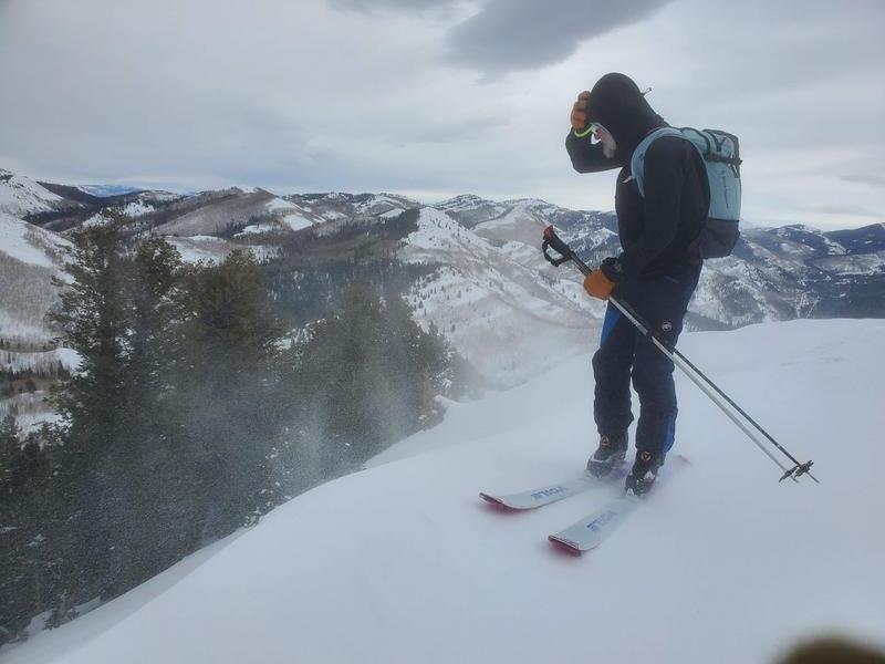
South winds gusting to gale force out on the high elevation ridgelines ahead of the coming storm. Nearly ripped Drew's phone out of his hand while he was taking a video of the intense blowing snow!
Comments
New snow in the coming winter storm, especially going into Monday, will only stress out the snowpack more. Simply put, the PWL problem is going to get worse before it gets better.
Sticking with Considerable danger rating tomorrow verging into High as the storm ratchets up later in the day.
The best bet right now is to play the long game, dial it back, and stick to low-angle terrain. This is not the time to be stepping out, and there's nothing wrong with meadow skipping.
Today's Observed Danger Rating
Considerable
Tomorrows Estimated Danger Rating
None
Coordinates